
Last Updated on: 24th June 2021, 09:11 am
ISLE OF WIGHT GALLERY
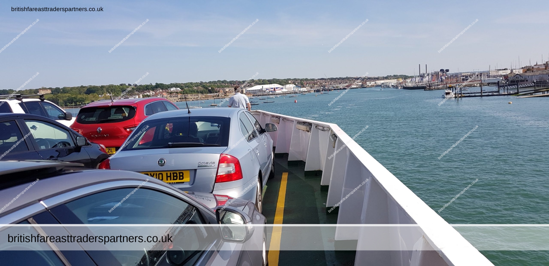
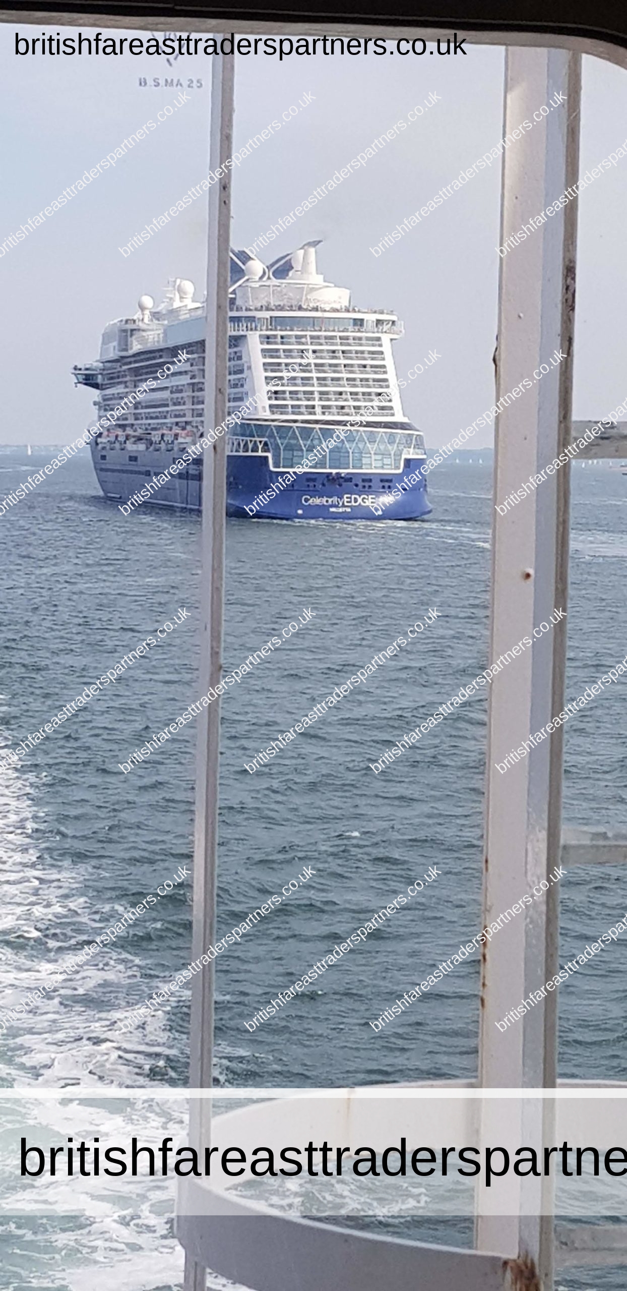
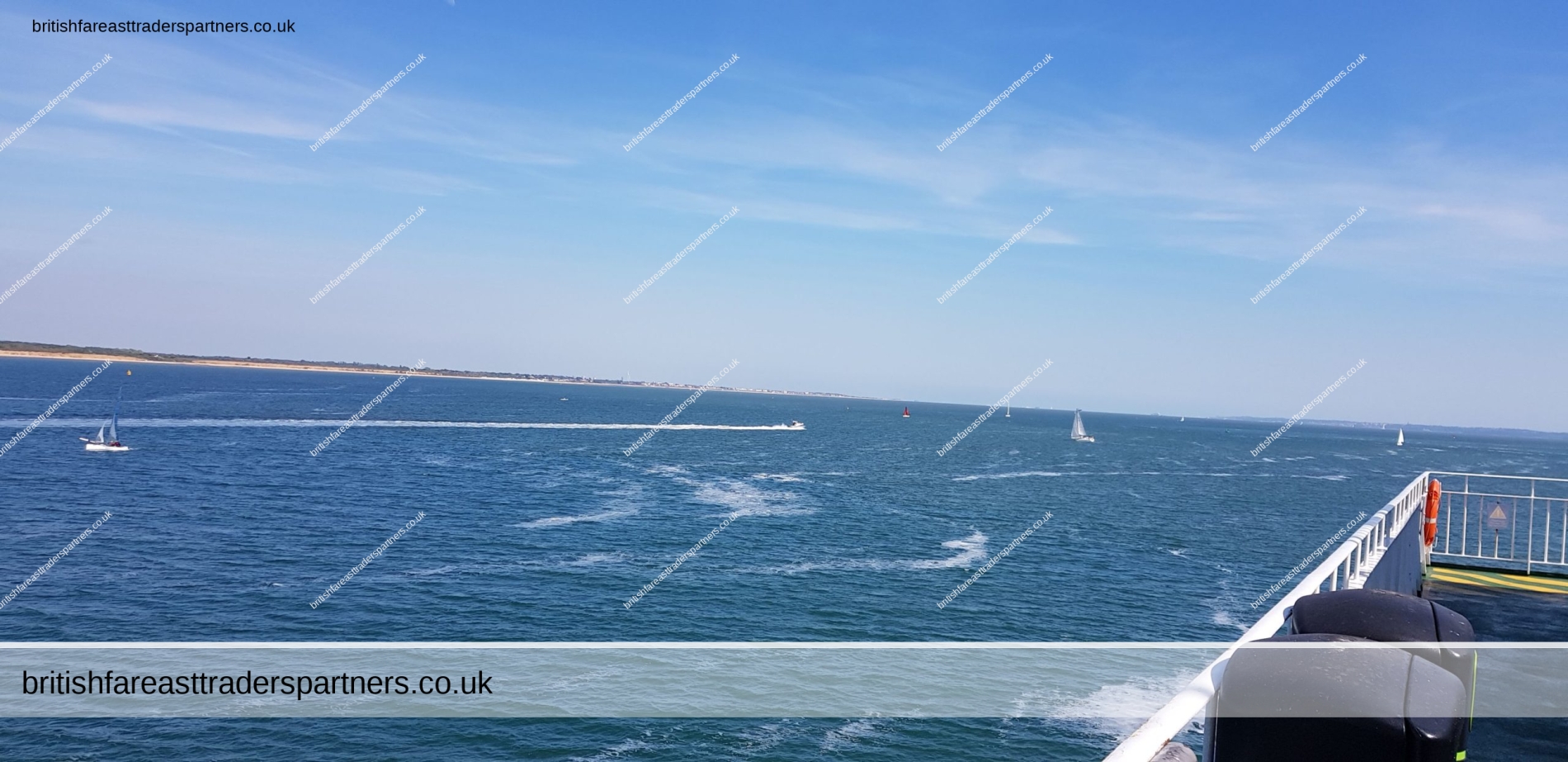
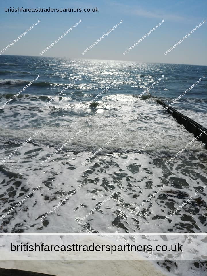
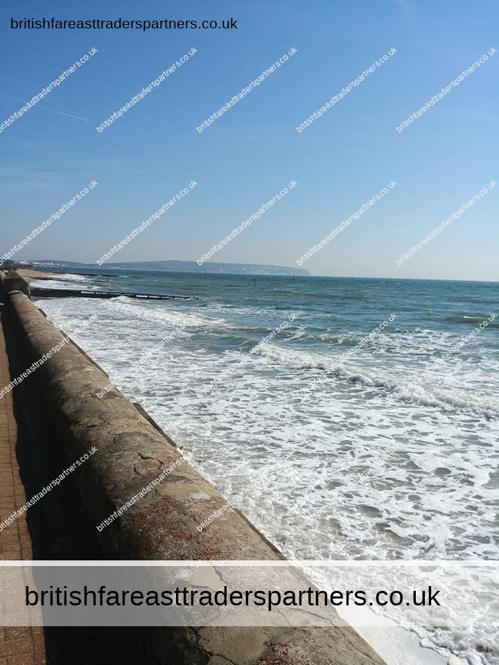
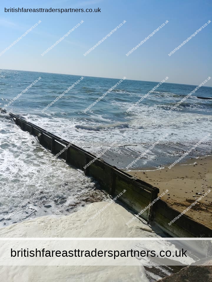
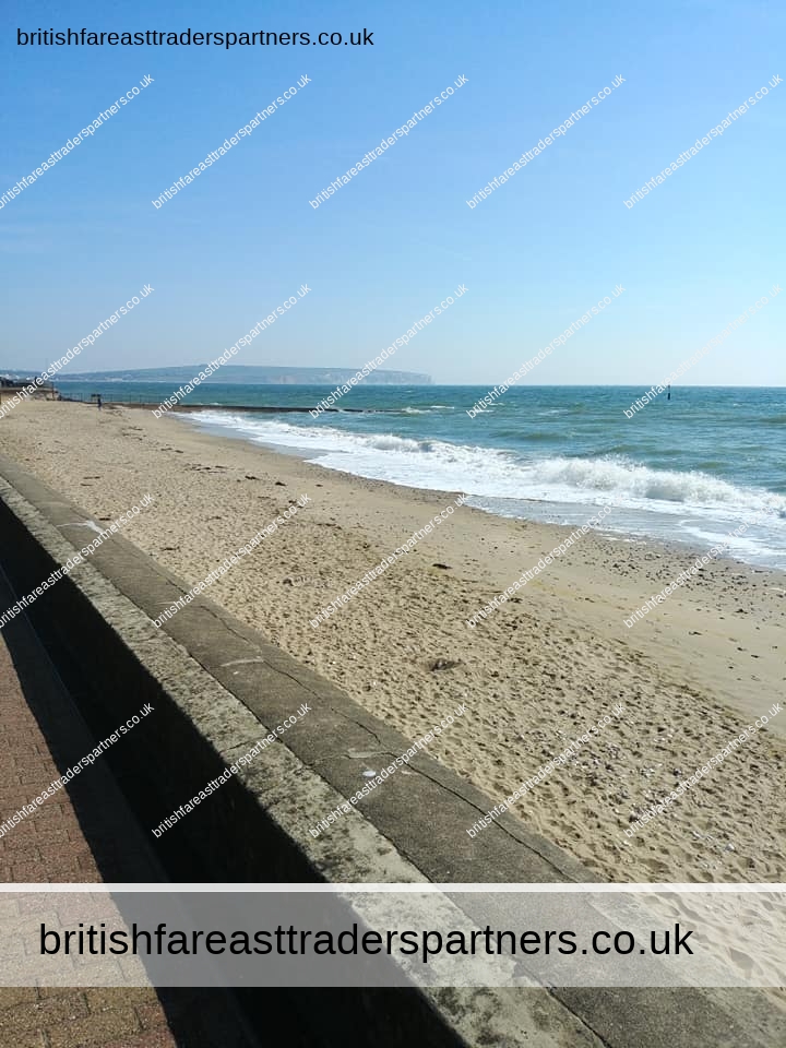
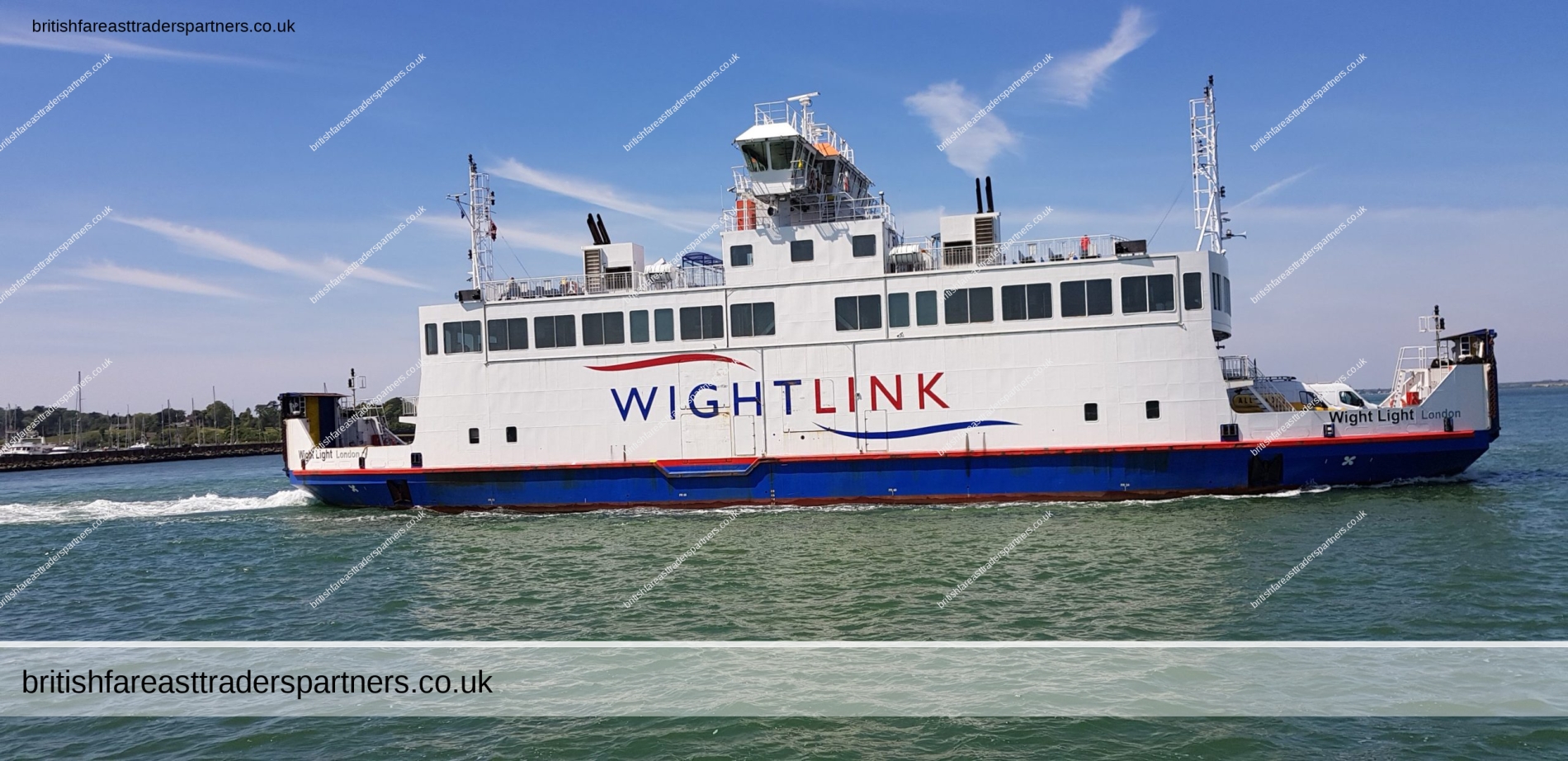
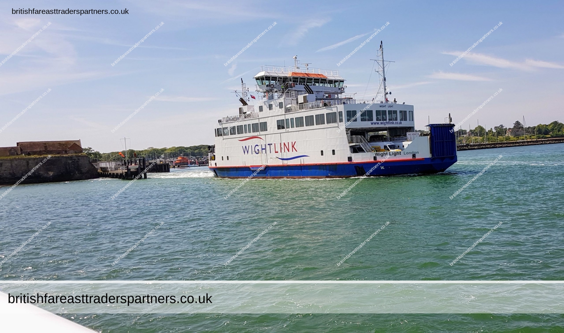
CROSSING THE SOLENT
The Solent is the strait that separates the Isle of Wight from the mainland of England. It is about 20 miles (32 kilometres) long and varies in width between 2 1⁄2 and 5 mi (4 and 8 km), although the Hurst Spit which projects 1 1⁄2 mi (2.4 km) into the Solent narrows the sea crossing between Hurst Castle and Colwell Bay to just over 1 mi (1.6 km).
The Solent is a major shipping lane for passenger, freight and military vessels. It is an important recreational area for water sports, particularly yachting,[2] hosting the Cowes Week sailing event annually. It is sheltered by the Isle of Wight and has a complex tidal pattern, which has benefited Southampton‘s success as a port, providing a “double high tide” that extends the tidal window during which deep-draught ships can be handled.[3] Portsmouth lies on its shores. Spithead, an area off Gilkicker Point near Gosport, is known as the place where the Royal Navy is traditionally reviewed by the monarch of the day.
The area is of great ecological and landscape importance, particularly because of the coastal and estuarine habitats along its edge.[4] Much of its coastline is designated as a Special Area of Conservation.[5] It is bordered by and forms a part of the character of a number of nationally important protected landscapes including the New Forest National Park, and the Isle of Wight AONB.
Text is available under the Creative Commons Attribution-ShareAlike License; additional terms may apply.
Source: https://en.wikipedia.org/wiki/The_Solent
On the other side of the Solent in the County of Hampshire is another Area of Natural Beauty, The New Forest National Park.
Check out the following Blogs:
BEAULIEU, HAMPSHIRE: NEW FOREST, ENGLAND
GET READY TO FALL IN LOVE WITH NEW FOREST NATIONAL PARK, ENGLAND
A RELAXING SUMMER’S DAY BY THE SOLENT BEACH: LEPE COUNTRY PARK,
HAMPSHIRE, ENGLAND

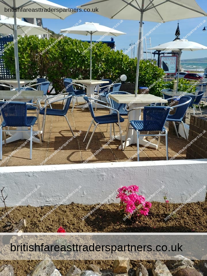
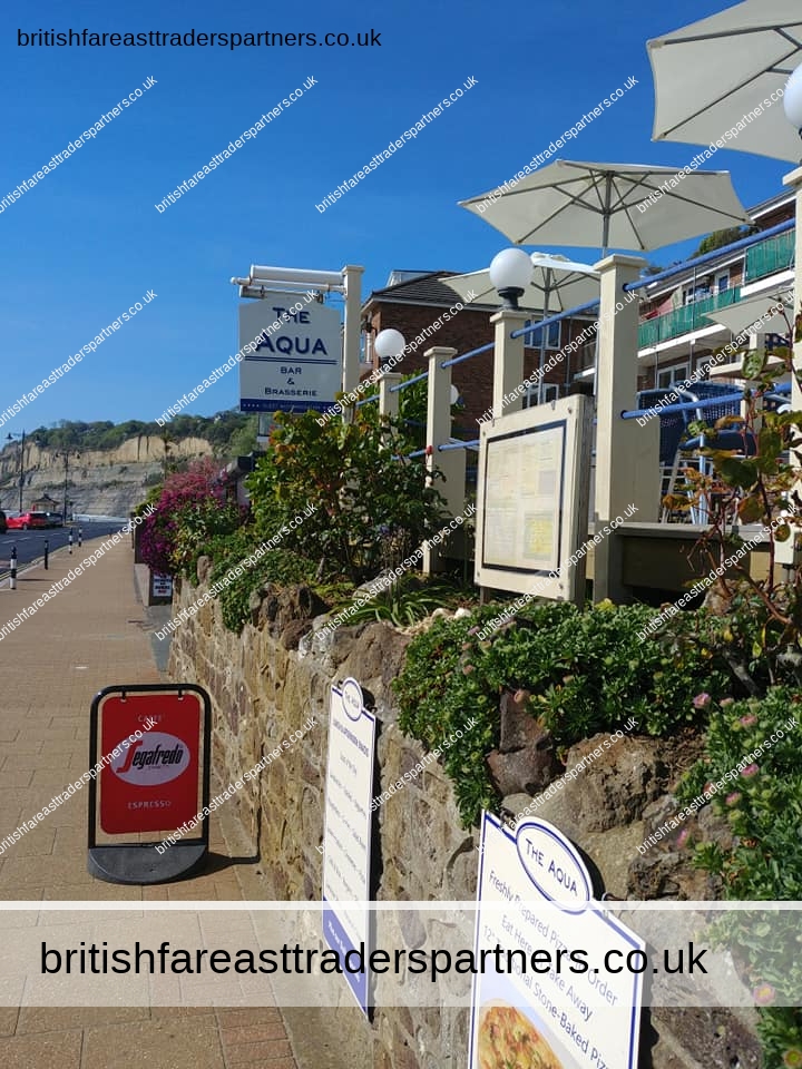
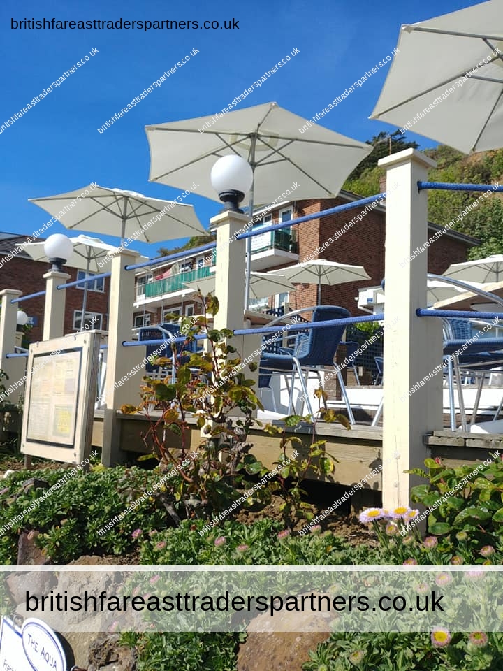
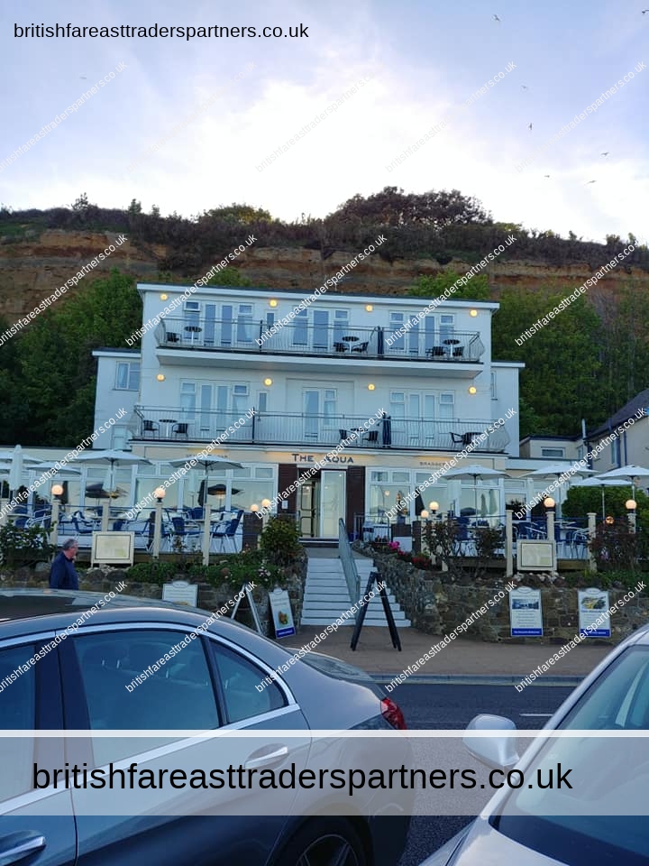
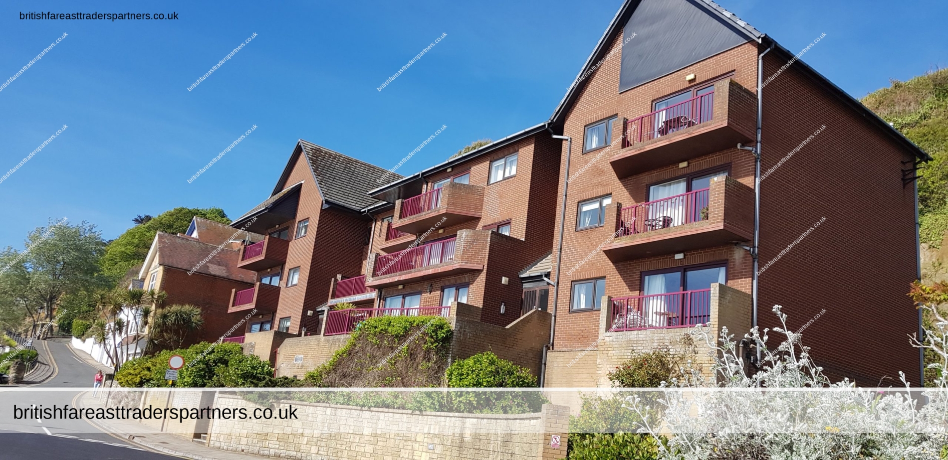
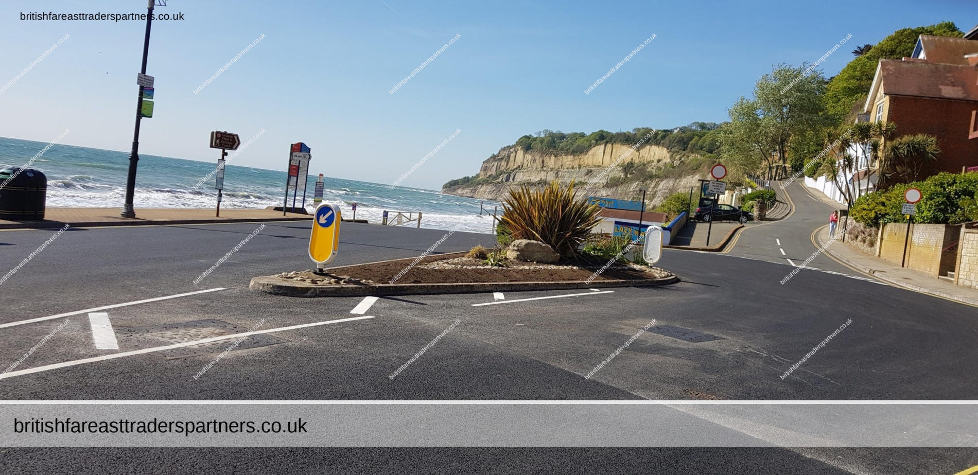
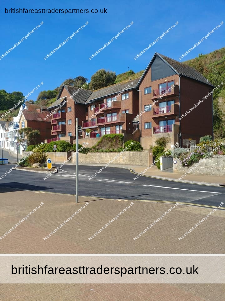
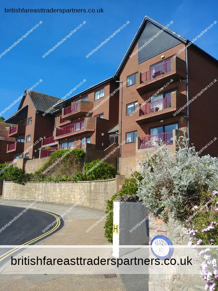
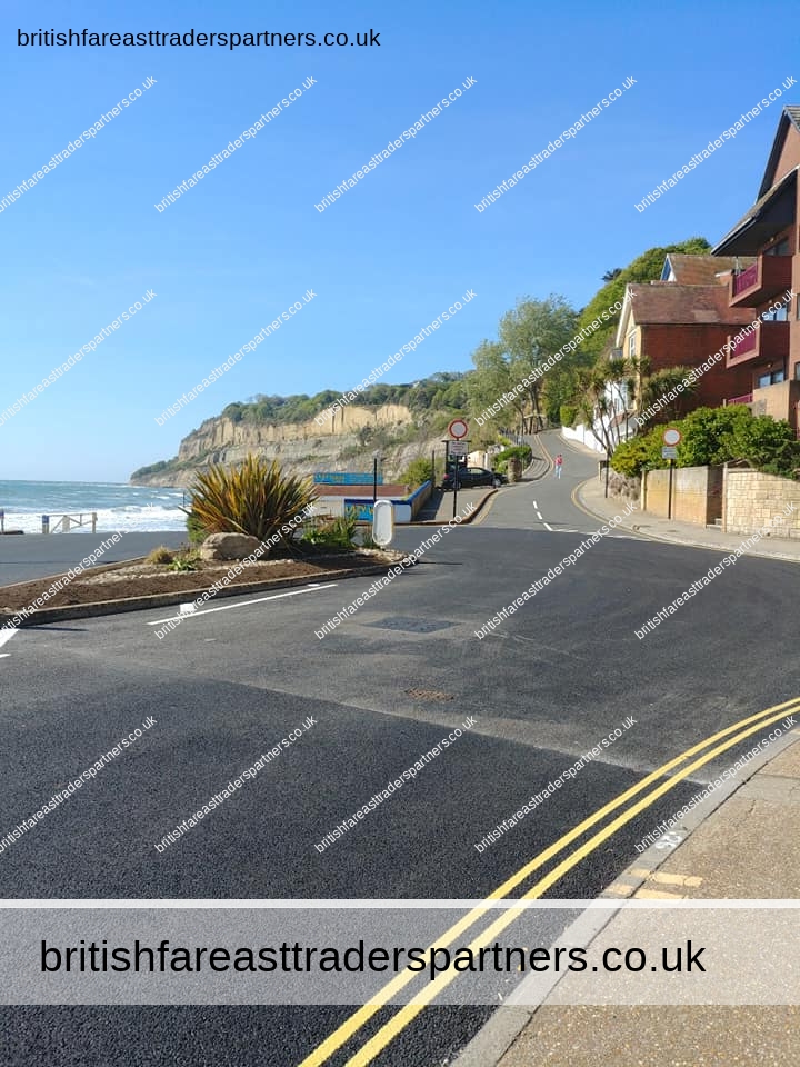
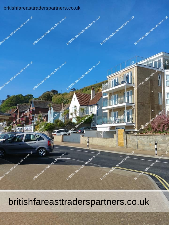
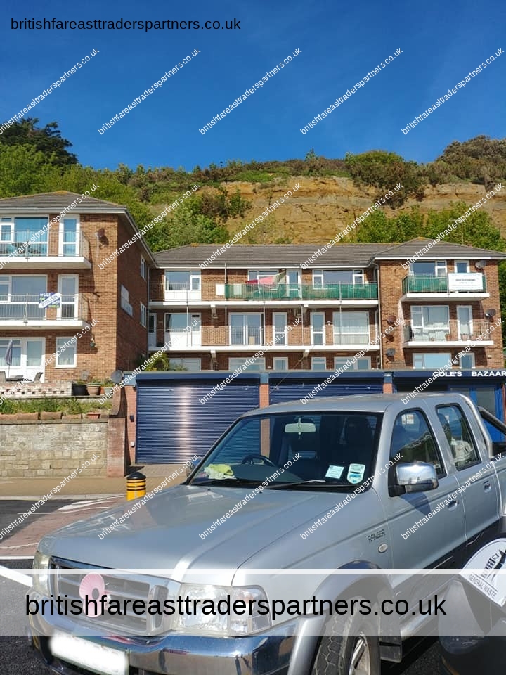
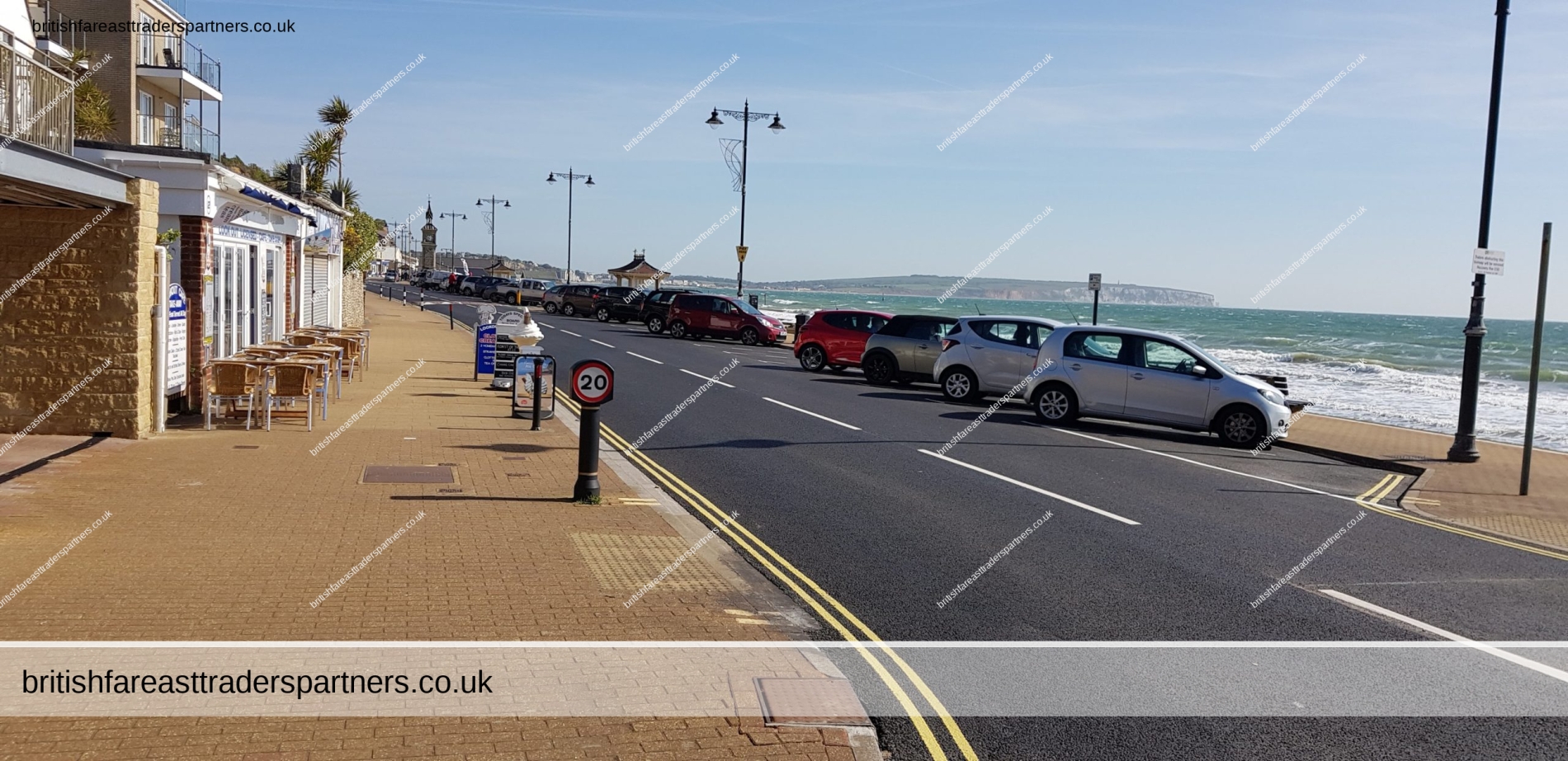
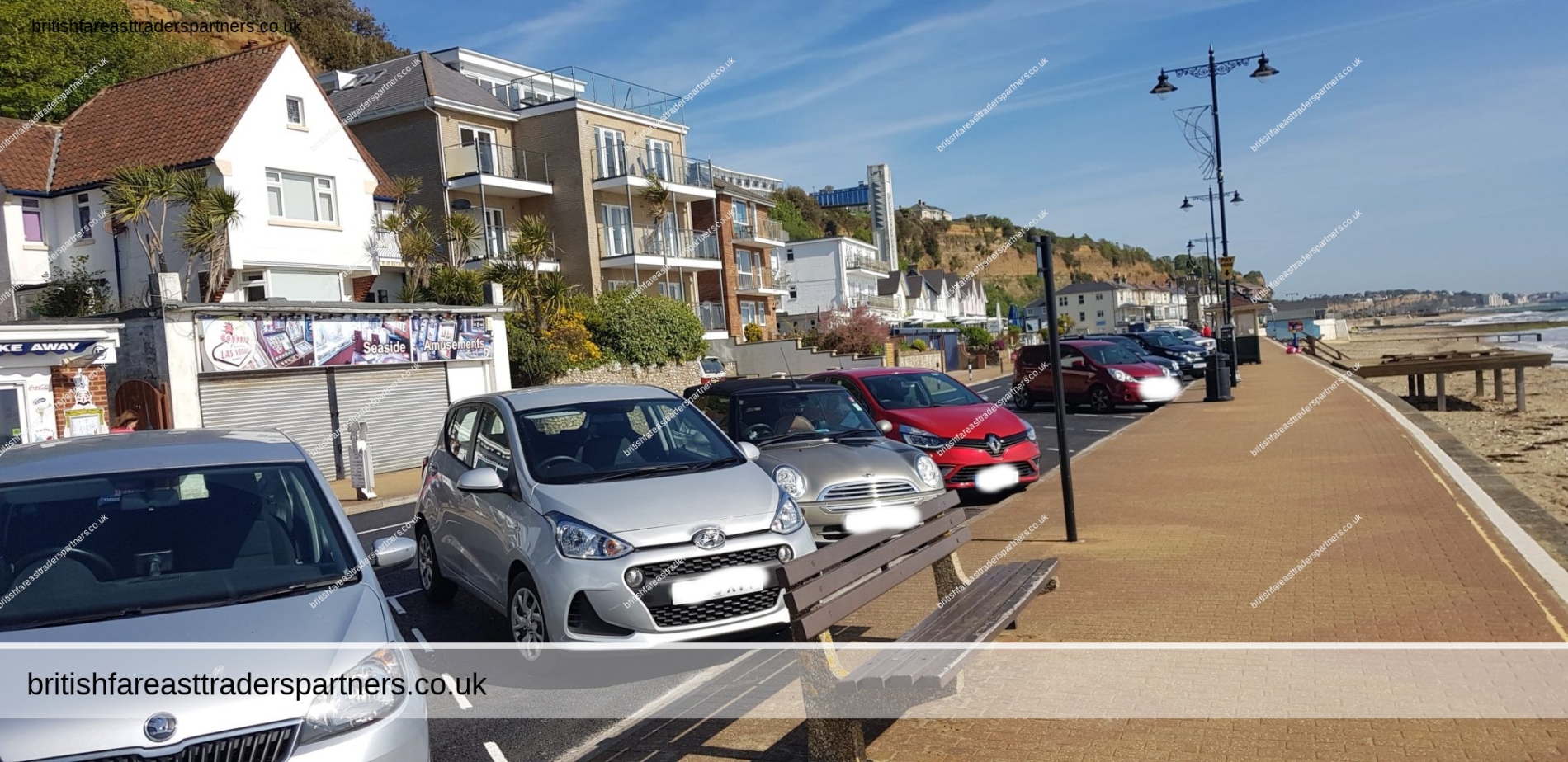
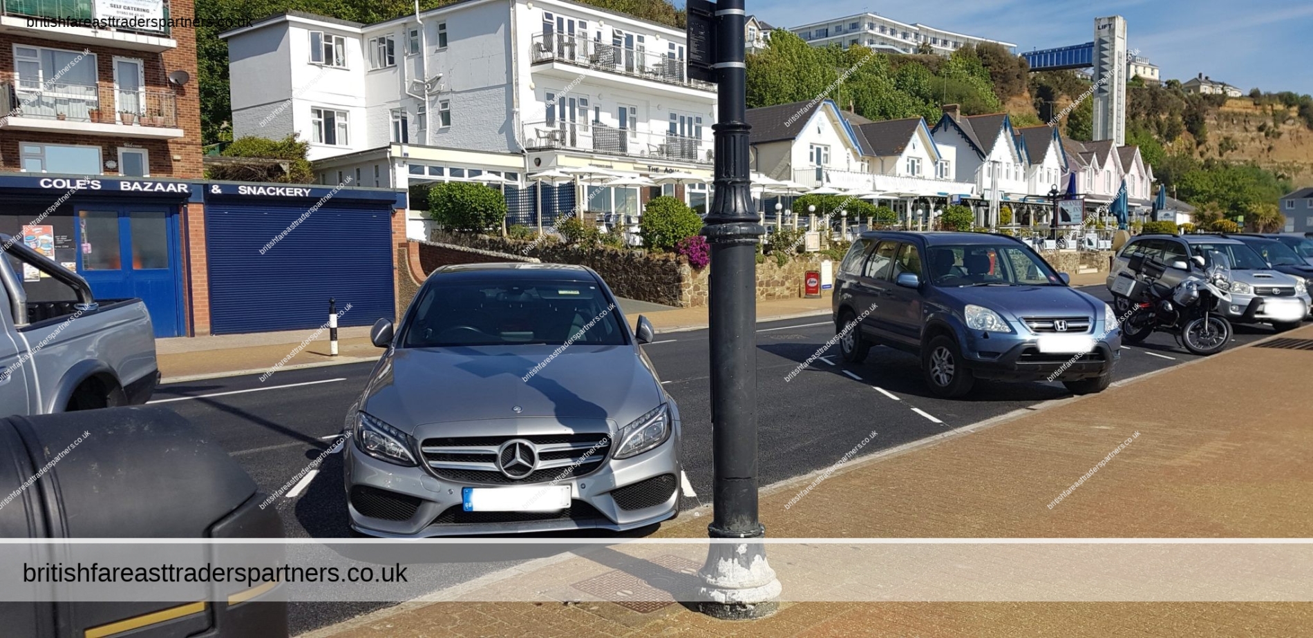
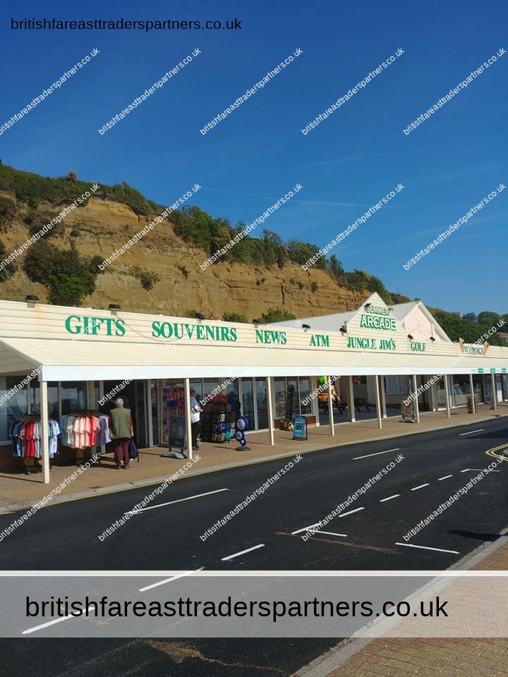
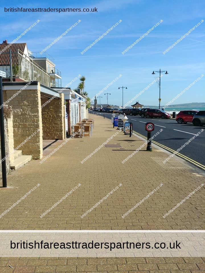
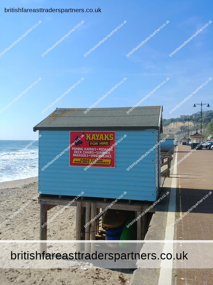
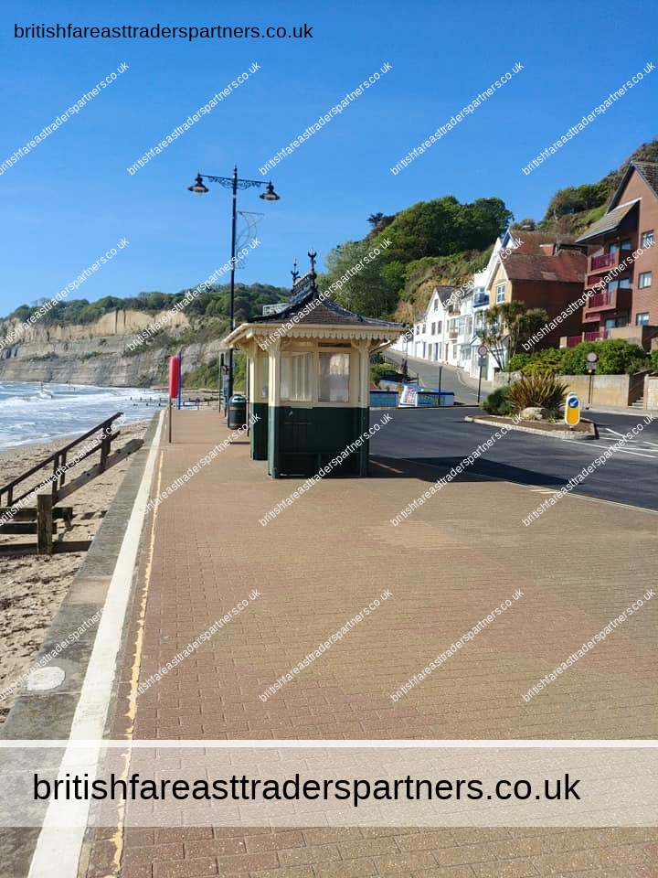
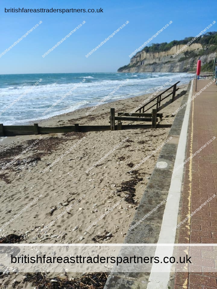
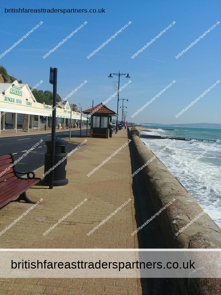
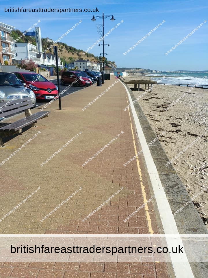
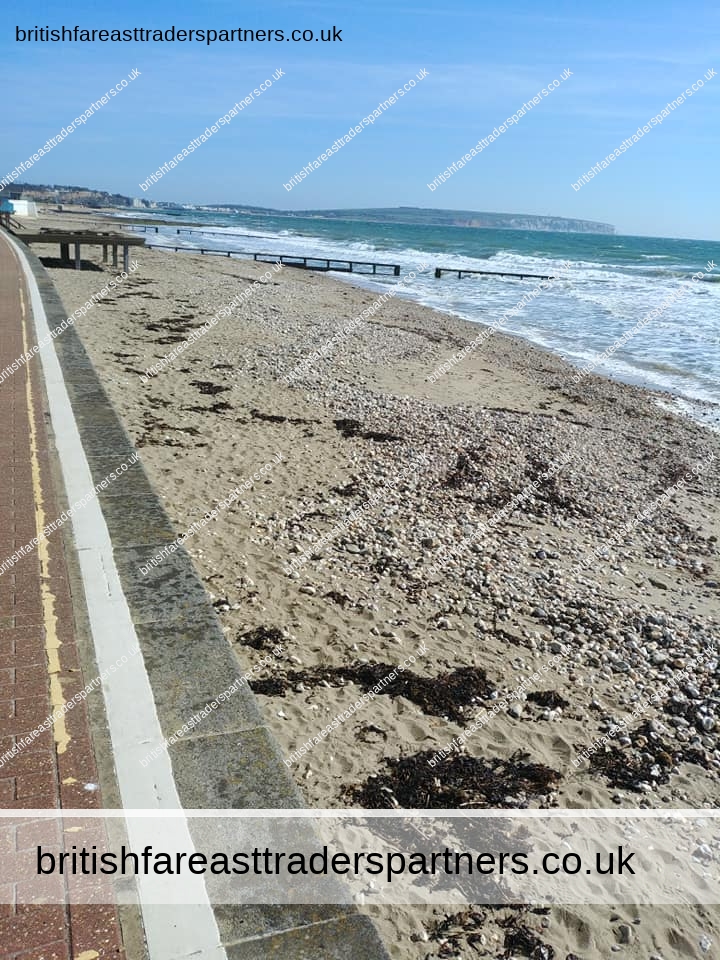
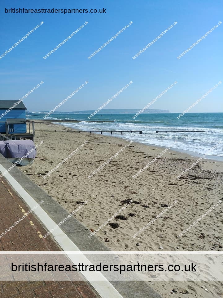
SHANKLIN BEACH & ESPLANADE
Shanklin is on the coast of Sandown Bay, and therefore is part of the long beach which spans between Yaverland in the North to Luccombe in the South. The section of beach situated next to Shanklin is split into Small Hope Beach and Hope Beach. Above Hope Beach is the esplanade which boasts some traditional seaside attractions including an amusement arcade, a crazy golf course, and a children’s play area, with slides, ball pools, bouncy castles, rigging, swings etc. available to be hired for a child’s birthday party. There are several seafront hotels, a cliff lift from the seafront to the top of the cliff, a putting course, several cafes and restaurants and pubs, and a large, clean beach. Shanklin used to have a pier, but this was destroyed in the Great Storm of 1987. The pier formerly had a theatre at which many famous performers appeared, including Paul Robeson, Richard Tauber and Arthur Askey (whose daughter attended a local boarding school called Upper Chine School for Girls). The Summerland Amusement Arcade on the seafront was formerly a seaplane hangar positioned at Bembridge where it housed Fairey Campania seaplanes of the Nizam of Hyderabad’s Squadron.[citation needed] Large areas of the seafront were severely damaged or destroyed during the Bombing raids of World War II, but were quickly rebuilt after the war, causing the current seafront to be a varied mixture of Victorian, inter-war and post-war architecture.
Shanklin Sailing Club is situated at the North end of the Esplanade. Founded in 1931 as ‘Shanklin Amateur Sailing Club’, the club has a fleet of Sprint 15 catamarans and holds races three days a week during the season.[8]
Further along the beach is the Fisherman’s Cottage pub. This is at the bottom of Shanklin Chine,[9] from which the town takes its name, historically “Chynklyng Chine” and in the Domesday Book of 1086 Sencliz (held by William FitzAzor; Jocelyn FitzAzor) from “Scen-hlinc”.[10][11] The Chine is open to the public for a small fee and continues up to Rylstone Gardens in the Old Village. It contains a small section of the pipe of the “Operation Pluto” pipeline which ran across the Isle of Wight and out from Shanklin and another branch from Sandown to supply fuel to the D-Day beaches.[12]
Text is available under the Creative Commons Attribution-ShareAlike License; additional terms may apply.
Source: https://en.wikipedia.org/wiki/Shanklin


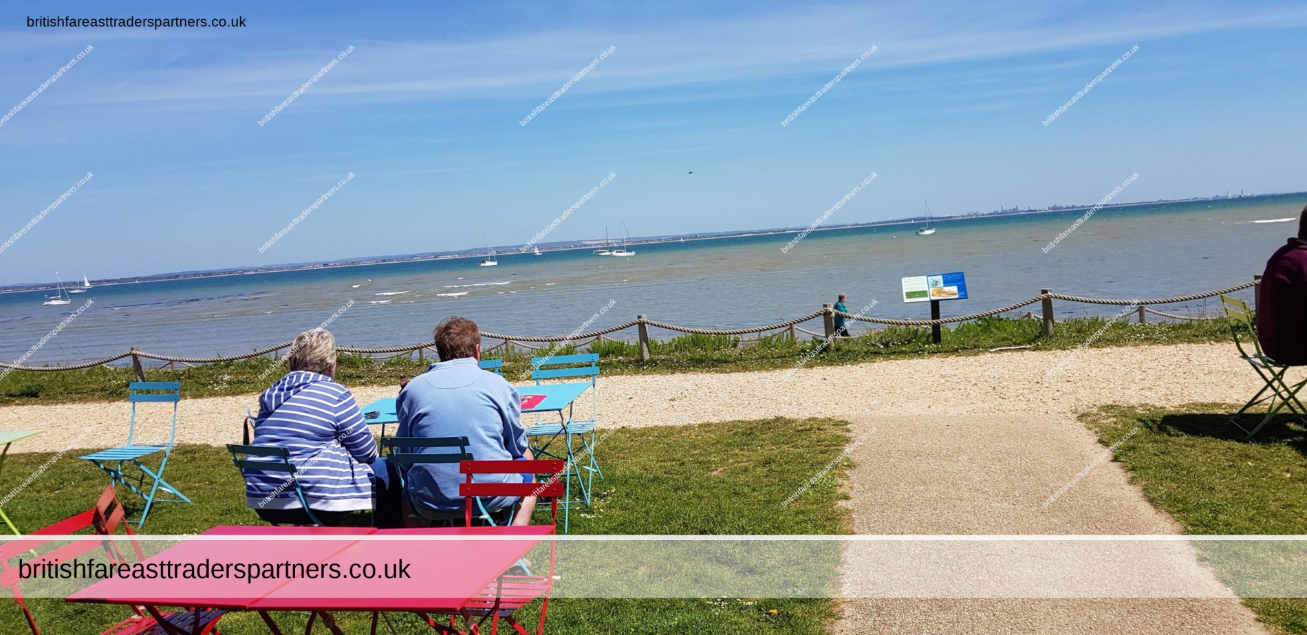
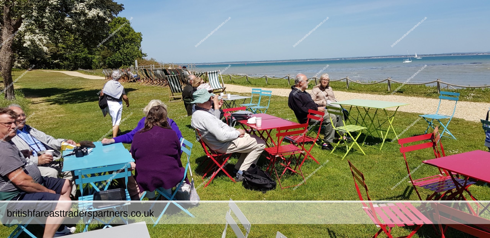
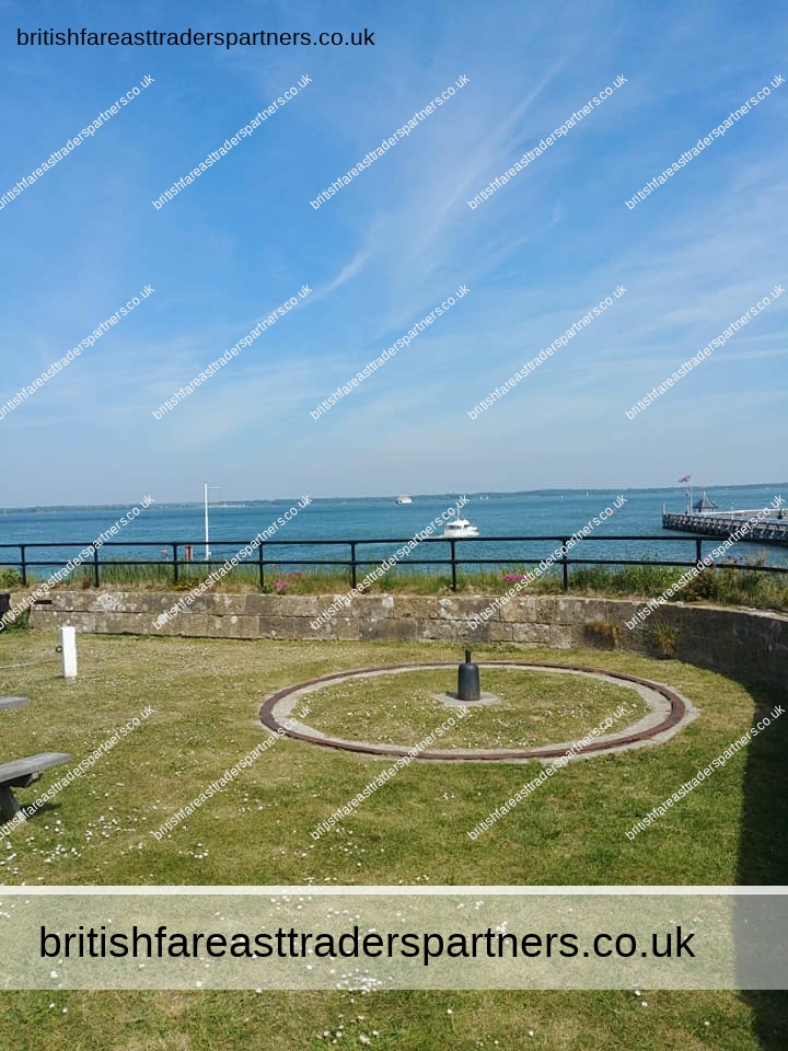
OSBORNE HOUSE
The Royal Summer Residence of Queen Victoria and Prince Albert
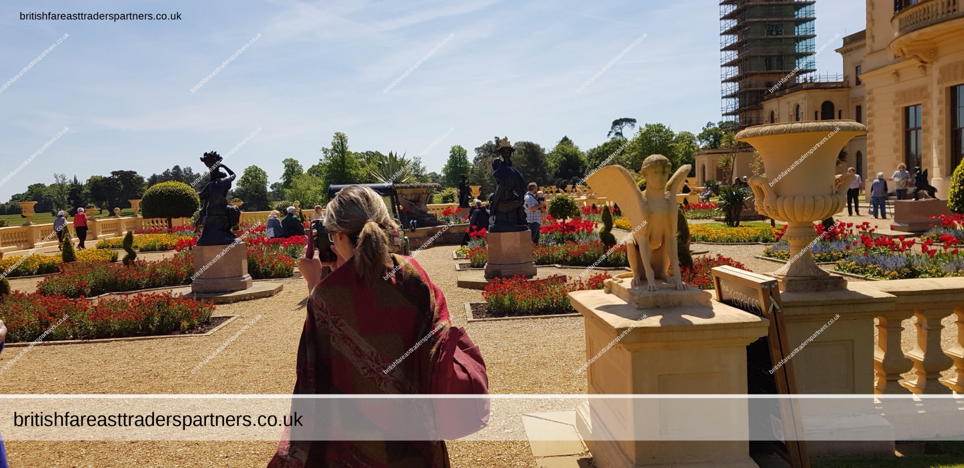
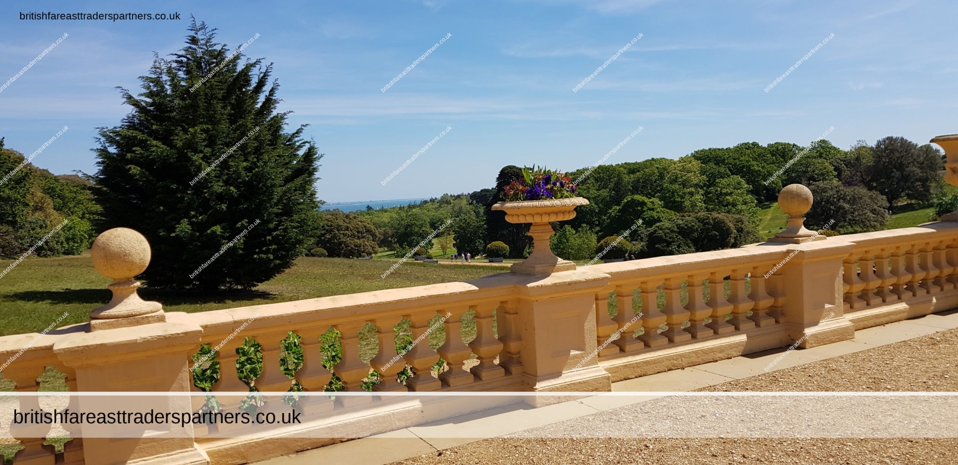
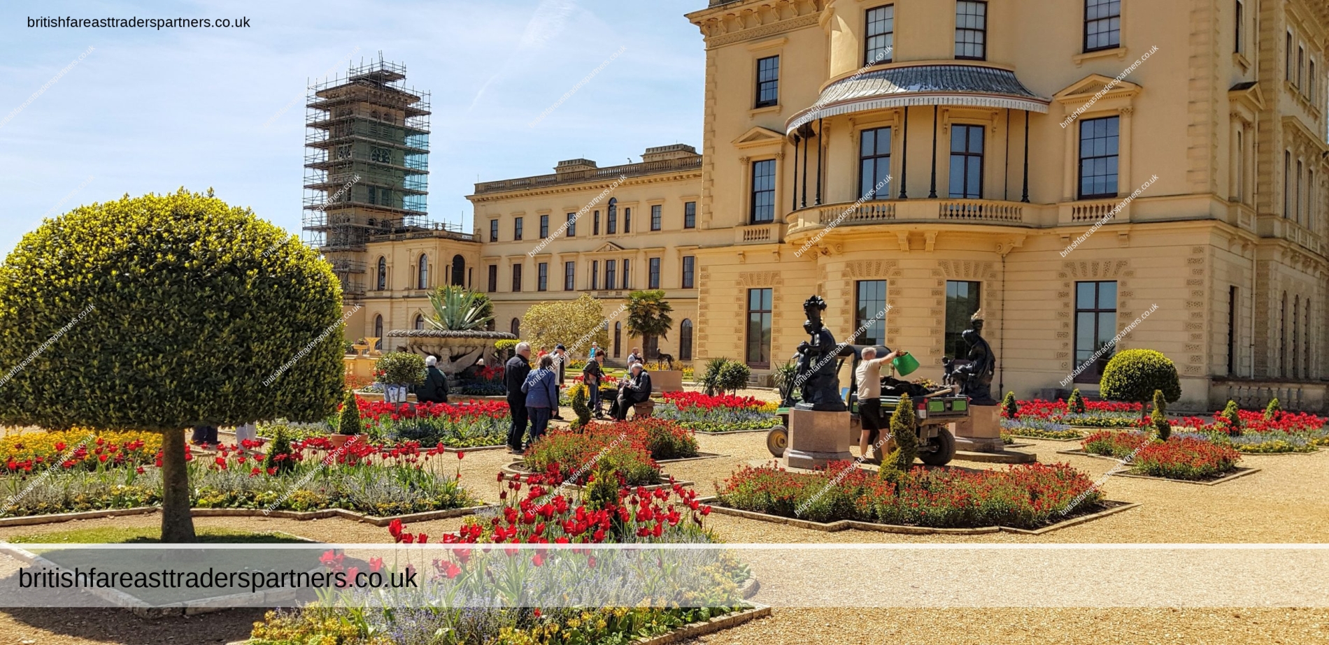
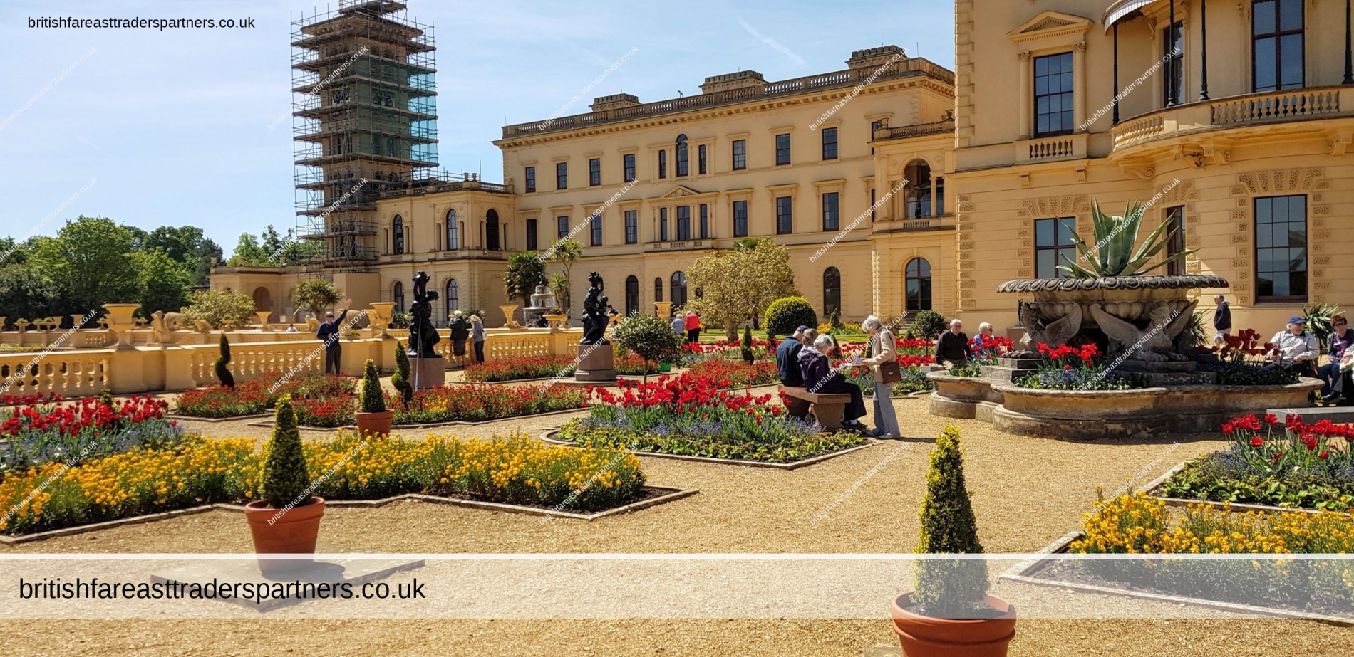
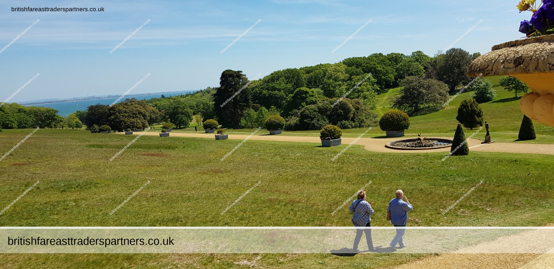
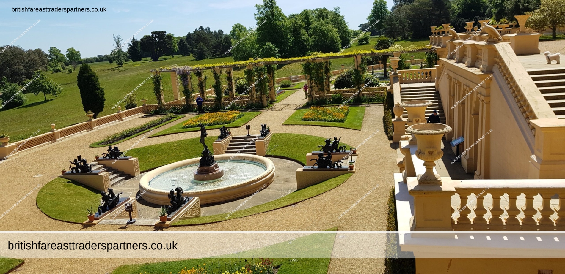
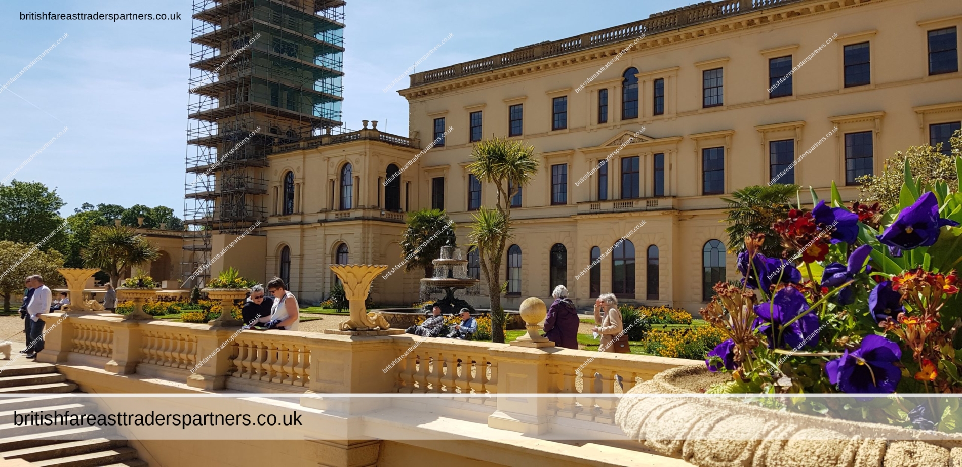
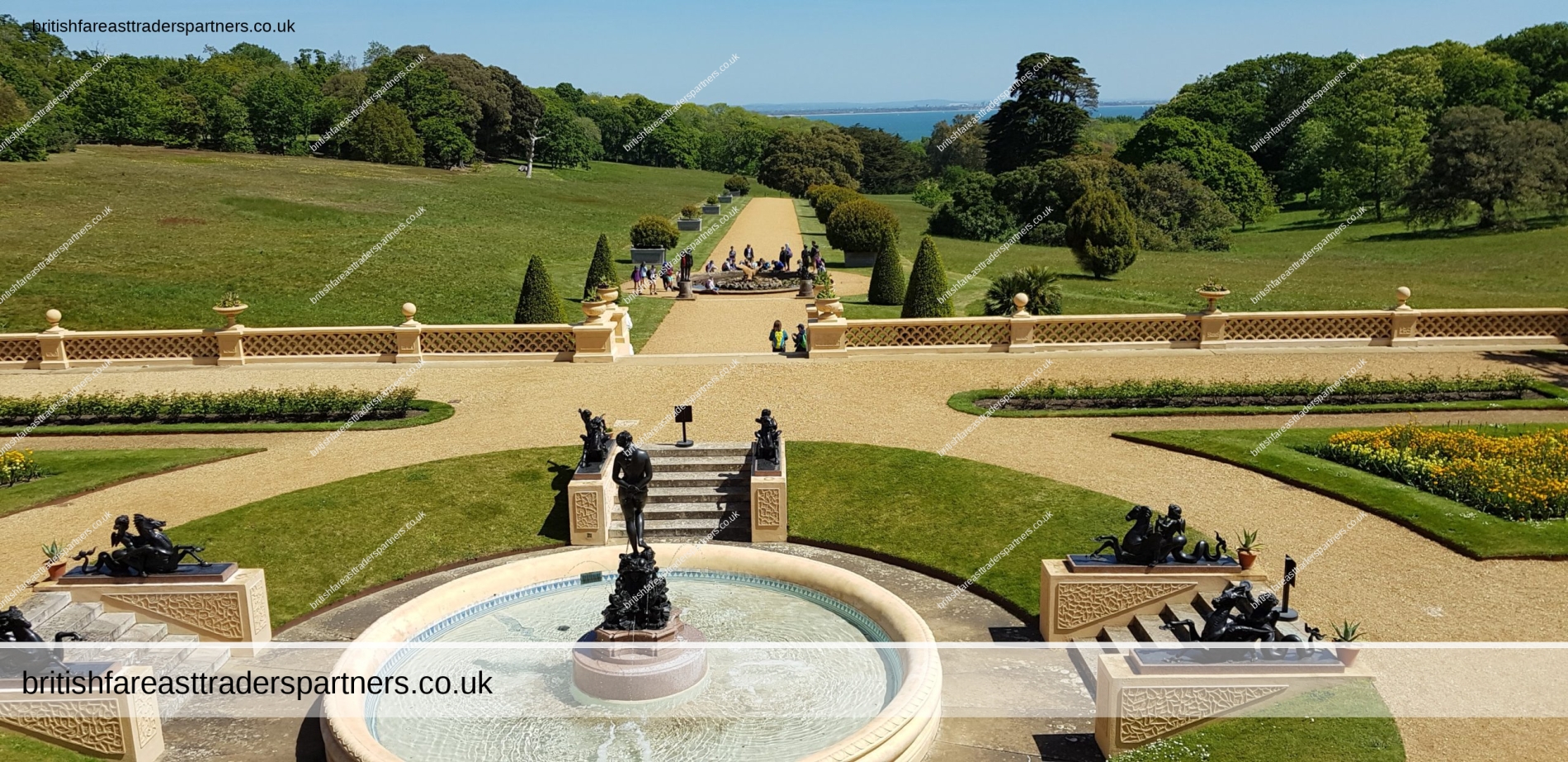
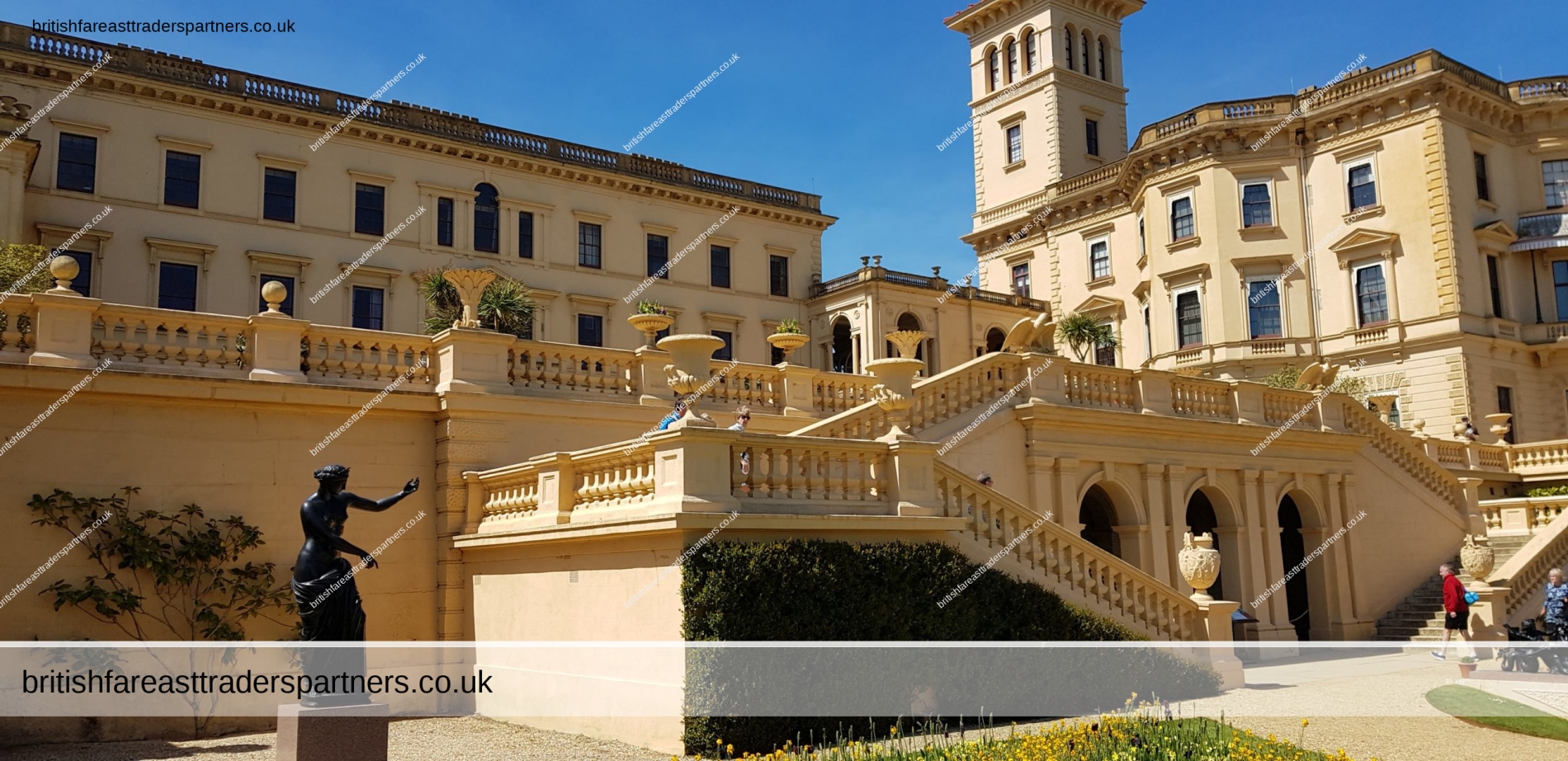

OSBORNE HOUSE PRIVATE BEACH


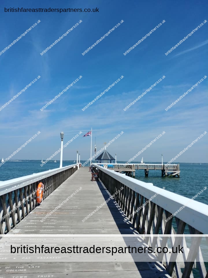
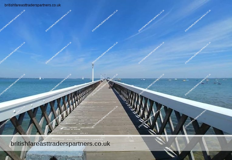
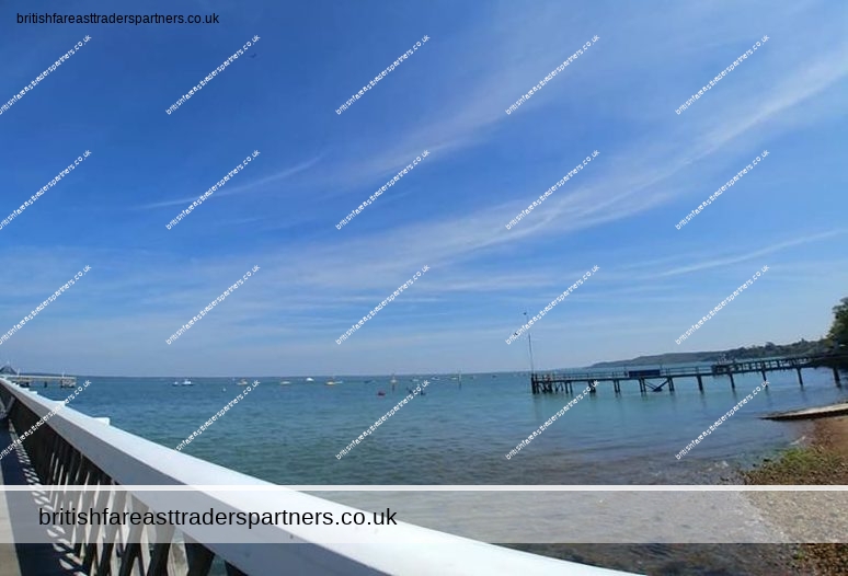
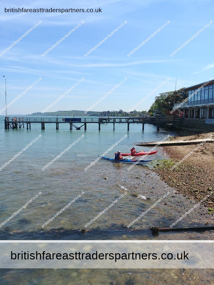
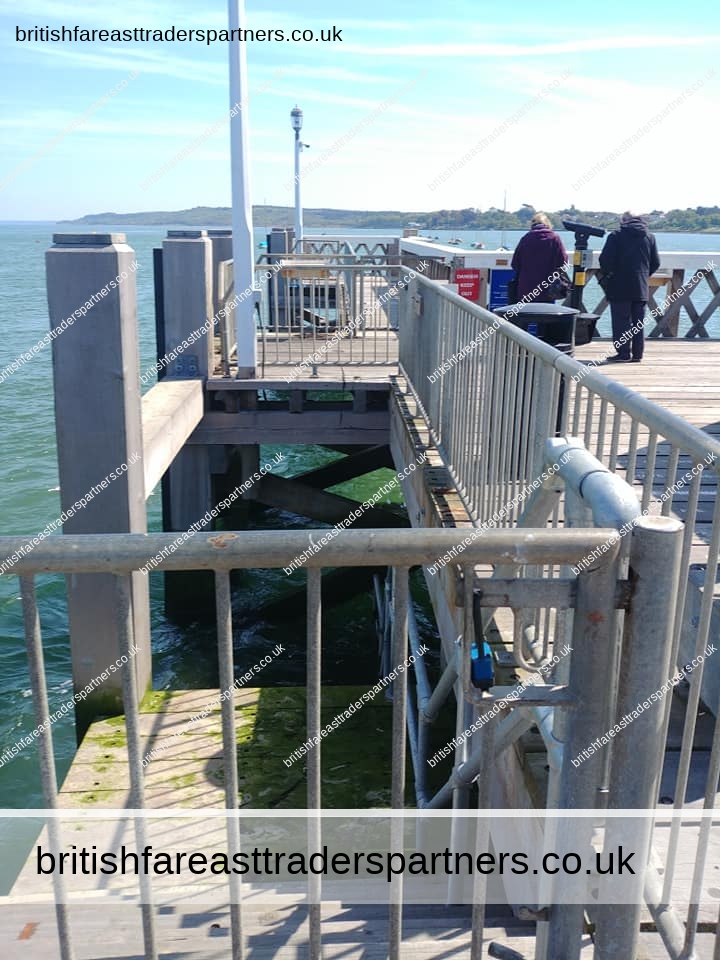
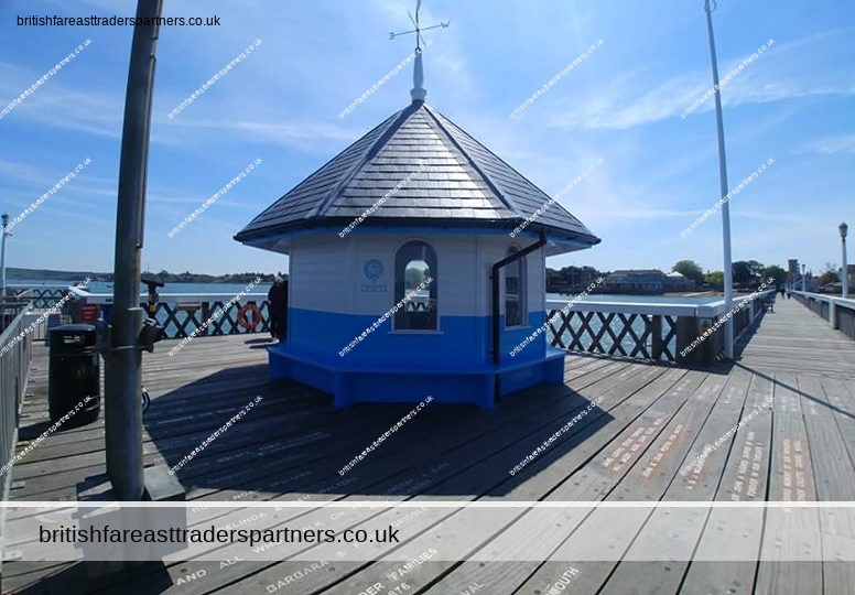
RYDE
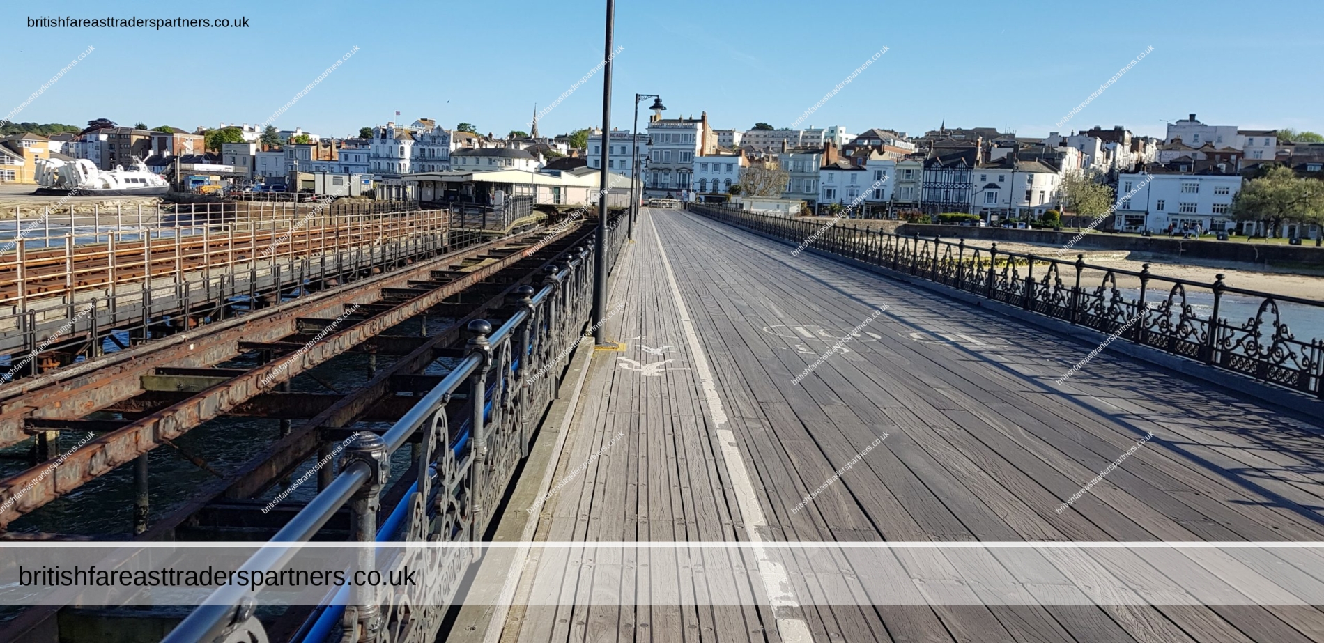
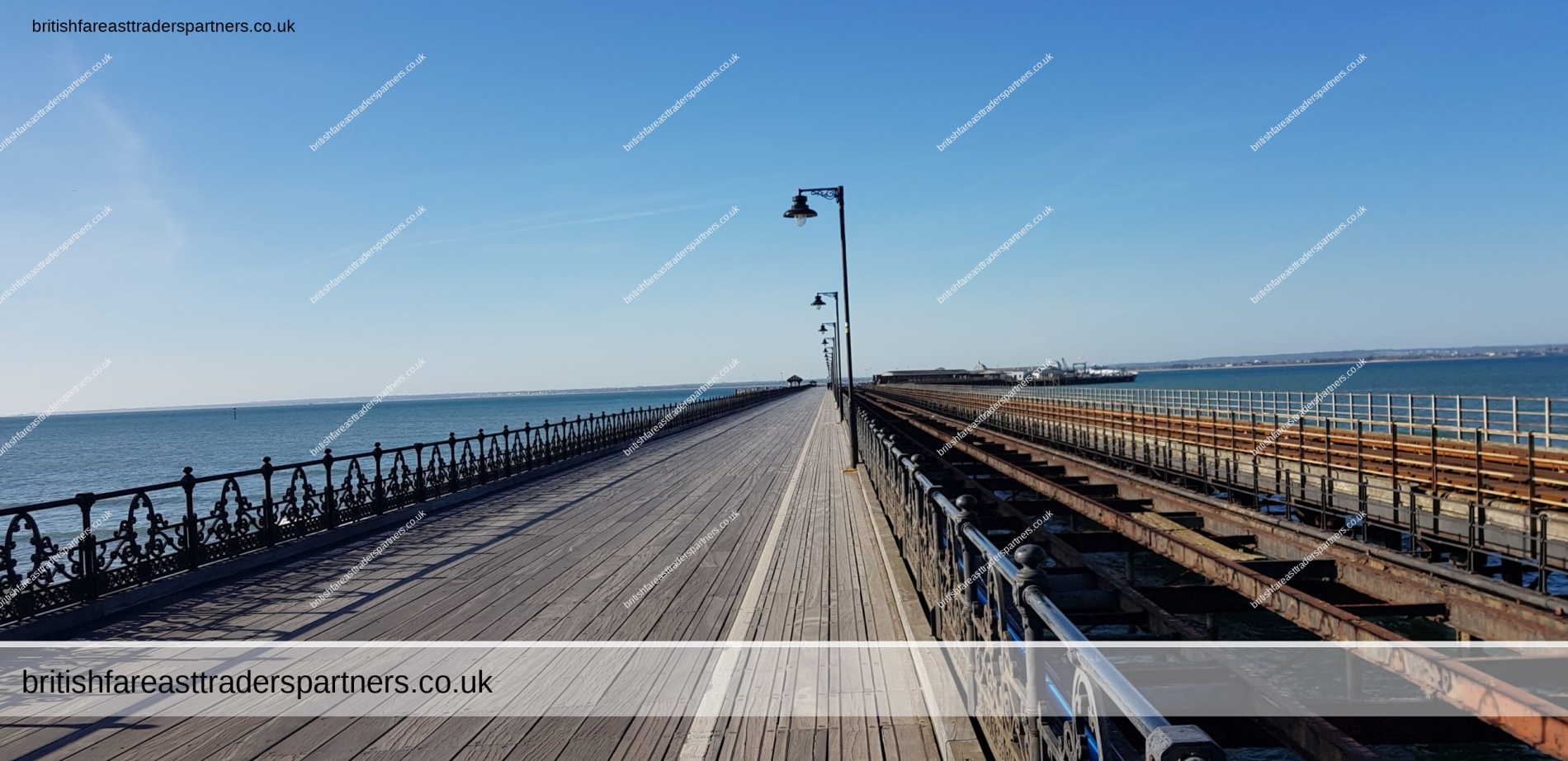
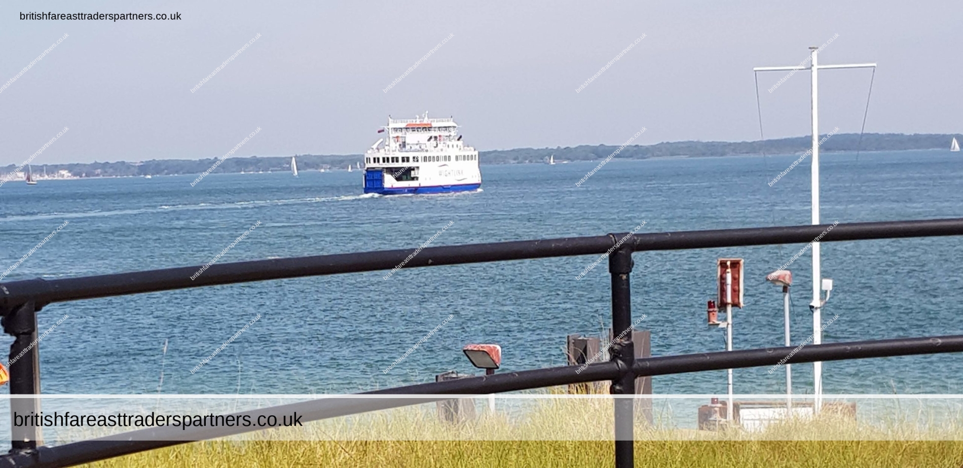
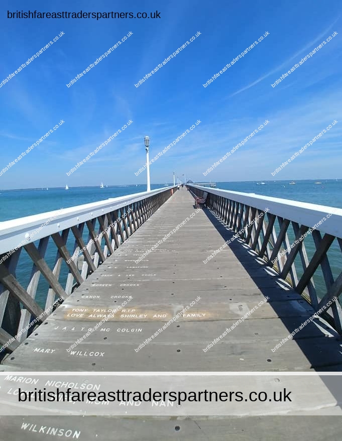
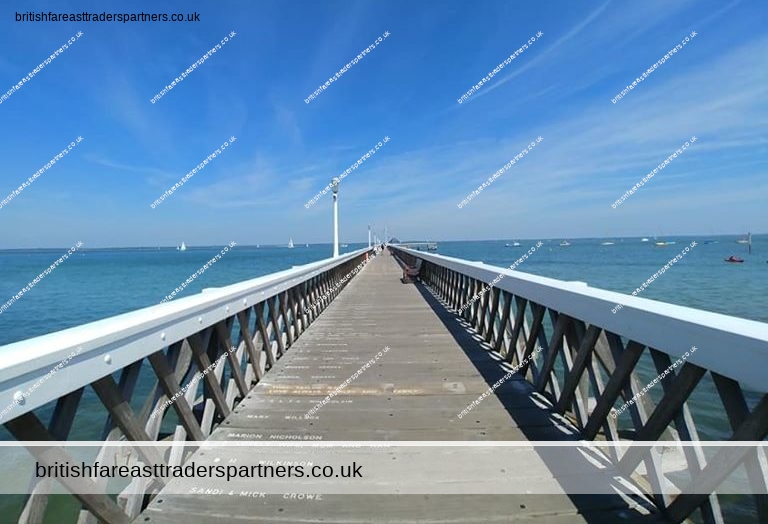
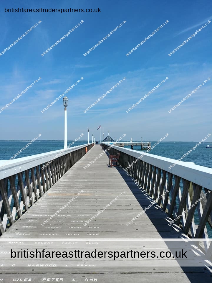
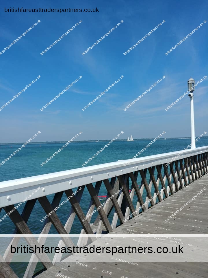
Ryde is an English seaside town and civil parish on the north-east coast of the Isle of Wight. It had a population of 32,072 at the time of the 2011 Census.[1] Its growth as a seaside resort followed after the villages of Upper Ryde and Lower Ryde were merged in the 19th century. The influence of that period can be seen in the town’s central and seafront architecture. As a resort, Ryde has expansive sands revealed at low tide. The wide beach necessitates the listed pier for a regular passenger ferry service to the mainland. It is the fourth longest in the United Kingdom and the oldest survivor.[2]
History
In 1782 numerous bodies of men, women and children from HMS Royal George, which sank suddenly at Spithead, were washed ashore at Ryde. Many were buried on land that is now occupied by the Esplanade. A memorial to them was erected in June 2004.[3]
The town boasts many Regency and Victorian buildings and the townscape is of considerable historic interest with fine buildings such as All Saints Church, designed by the eminent Gilbert Scott, and the Town Hall, which was built in 1829 and is considered to be one of the finest buildings of its type on the south coast. Up until the pier was opened in 1814, ferry passengers landing at low tide were brought almost half a mile into the shore by horse and cart. Today the fast catamaran service to Portsmouth takes around 20 minutes and can be reached by train along the pier. There is also a hovercraft service to Southsea, which takes 9 minutes.[4]
Transport

Hovercraft leaving Ryde
The hovercraft to Southsea is operated by Hovertravel near the Esplanade close to Ryde Esplanade railway station and the bus station. A catamaran service run by Wightlink operates from Ryde Pier to Portsmouth Harbour which connects with both Island Line trains and mainland trains to London Waterloo.
The Island Line Trains service runs from Ryde Pier Head via Ryde Esplanade to Shanklin, a distance of 8 1⁄2 miles (14 km). Ryde St John’s Road railway station lies further south in the town.
The bus interchange lies between Ryde Pier and the Hover Terminal on the Esplanade. Ryde is the second busiest stop in the Southern Vectis network after Newport. The busiest route is No. 9 to Newport, running every 10 minutes in the daytime. Others include Nos 2, 3, 4 and 8 and local route 37.[5] An open-top bus service,The Downs Tour, runs in the summer.[6]
Text is available under the Creative Commons Attribution-ShareAlike License; additional terms may apply.
Source: https://en.wikipedia.org/wiki/Ryde


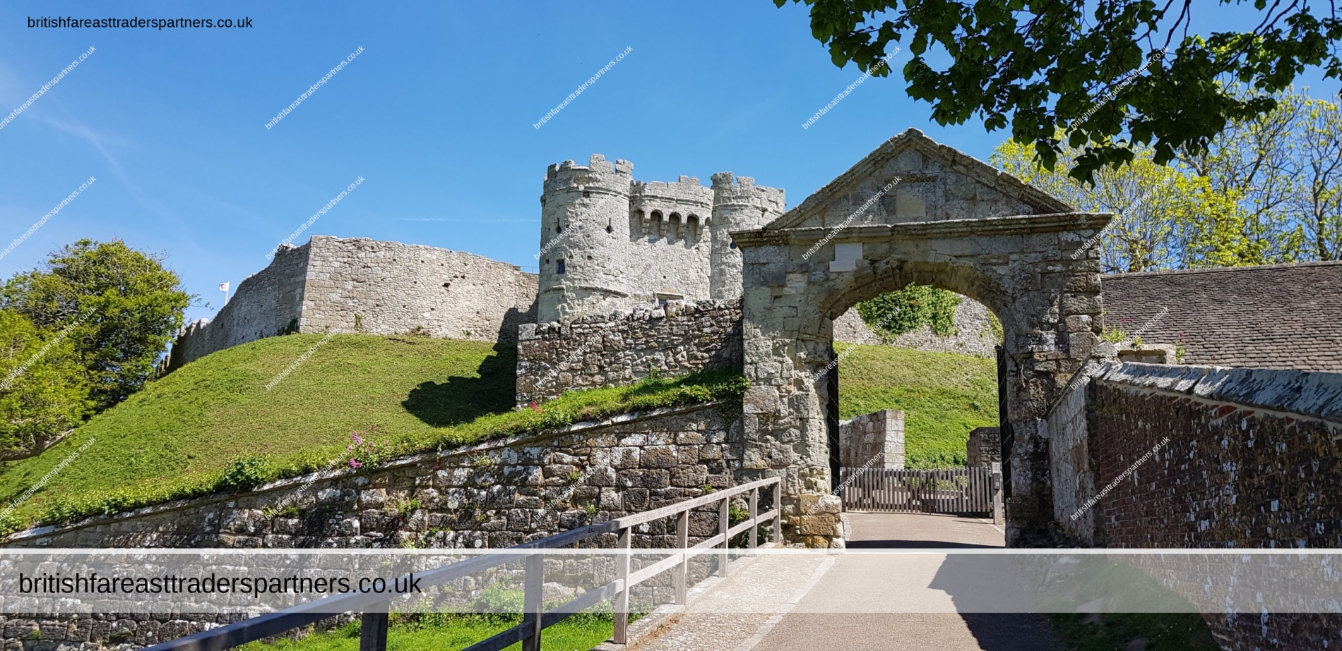
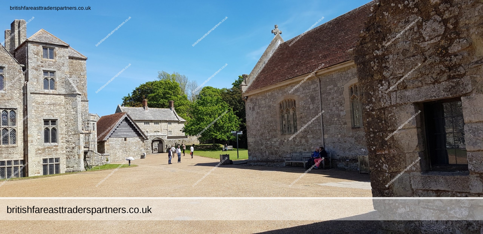
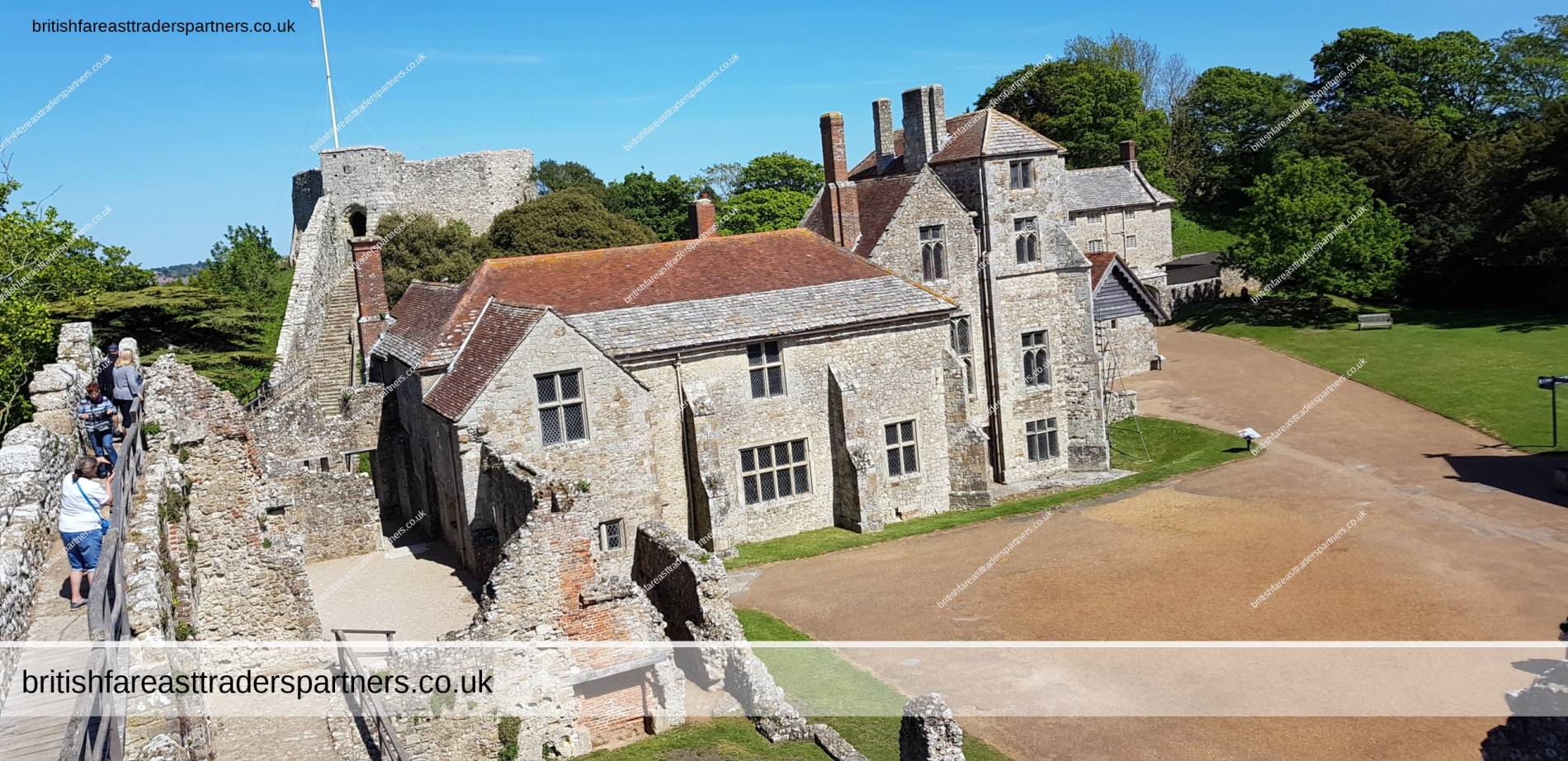
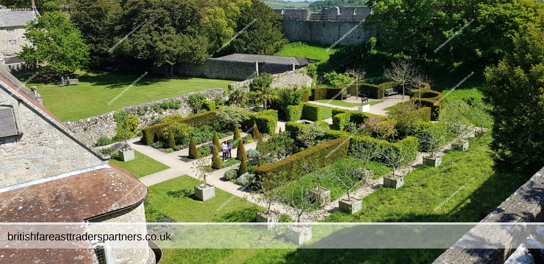
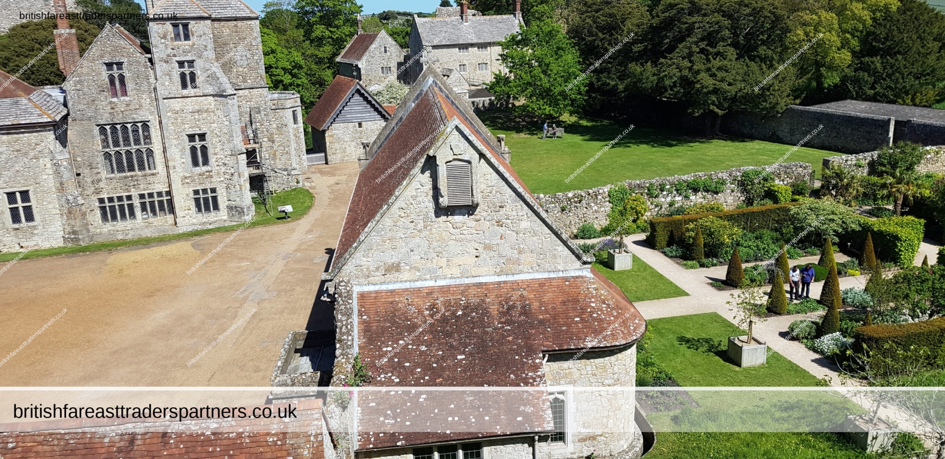
CARISBROOKE CASTLE
Early history
The site of Carisbrooke Castle may have been occupied in pre-Roman times. A ruined wall suggests that there was a building there in late Roman times. The Anglo-Saxon Chronicle mentions that Wihtgar, cousin of King Cynric of Wessex, died in AD 544, and was buried there. The Jutes may have taken over the fort by the late 7th century. An Anglo-Saxon stronghold occupied the site during the 8th century. Around 1000, a wall was built around the hill as a defence against Viking raids.
Later history
A reconstruction of Carisbrooke Castle during the 14th century.
From 1100 the castle remained in the possession of Richard de Redvers‘ family, and over the next two centuries his descendants improved the castle with stone walls, towers and a keep. In 1293, Countess Isabella de Fortibus, the last Redvers resident, sold the castle to Edward I. From then on, its governance was entrusted to wardens as representatives of the crown.[2]
In 1377, in the reign of Richard II the castle was unsuccessfully attacked by the French. It was reputedly saved by local hero Peter de Heyno who shot the French commander. Anthony Woodville, Lord Scales, later Earl Rivers, obtained a grant of the castle and rights of Lordship in 1467. He was responsible for the addition of the Woodville Gate, now known as the Entrance Gate.[3] Woodville was killed by Richard III in 1483, but his brother Edward Woodville was given control of the castle on the accession of Henry VII in 1485.[4]
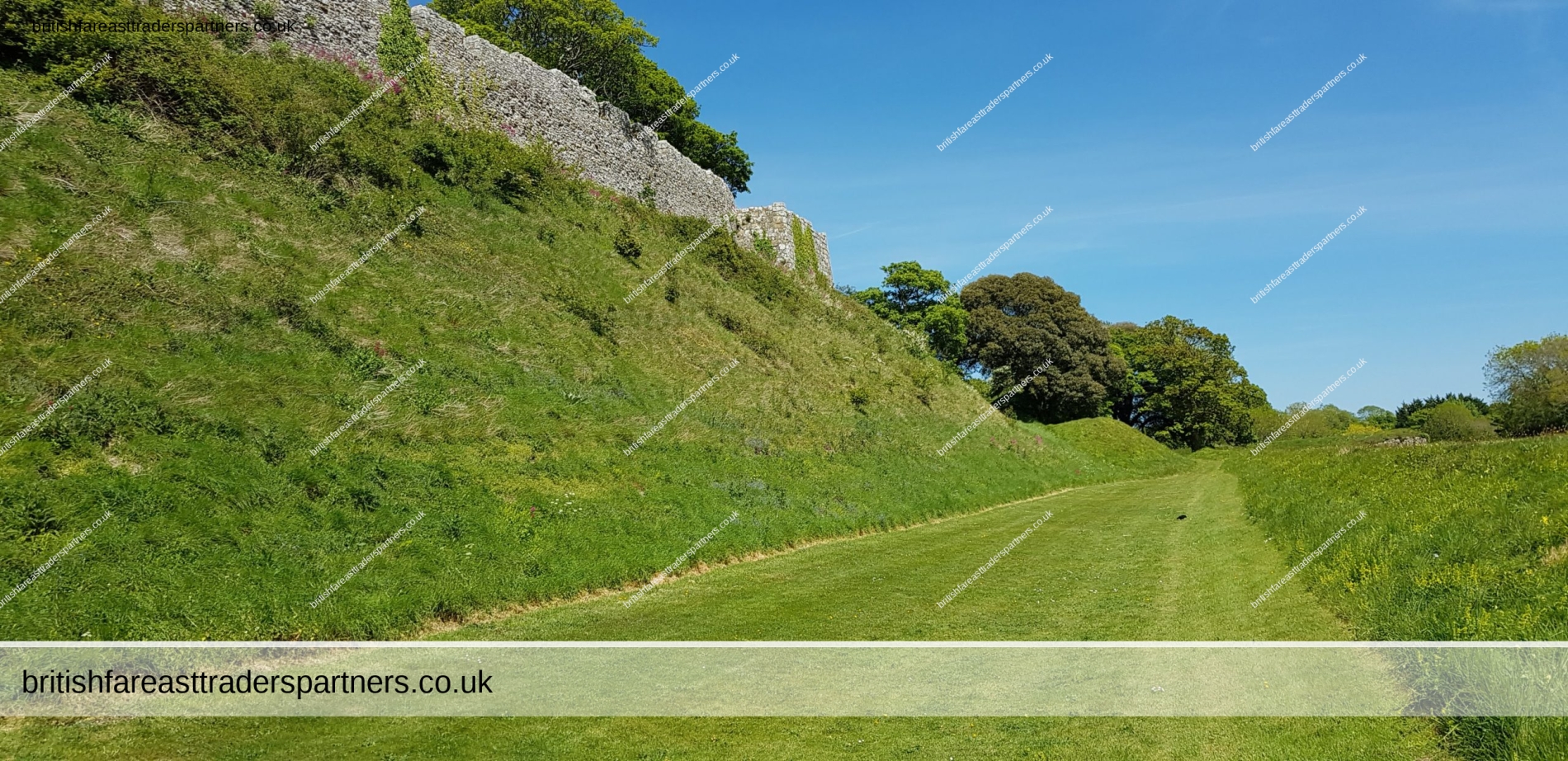
The keep was added to the castle in the reign of Henry I, and in the reign of Elizabeth I, when the Spanish Armada was expected, it was surrounded by additional fortifications by Sir George Carey, who had been appointed Governor of the Isle of Wight in 1583. Carey later commissioned the Italian engineer Federigo Giambelli (or Genebelli) to make more substantial improvements to the defences. Starting in 1597, Giambelli constructed a modern trace Italienne fortification, a squat rampart and ditch supported at intervals by powerful bastions, which completely surrounded the old castle and bailey. The new fortification was mostly completed by 1600 at the cost of £4,000.[5]
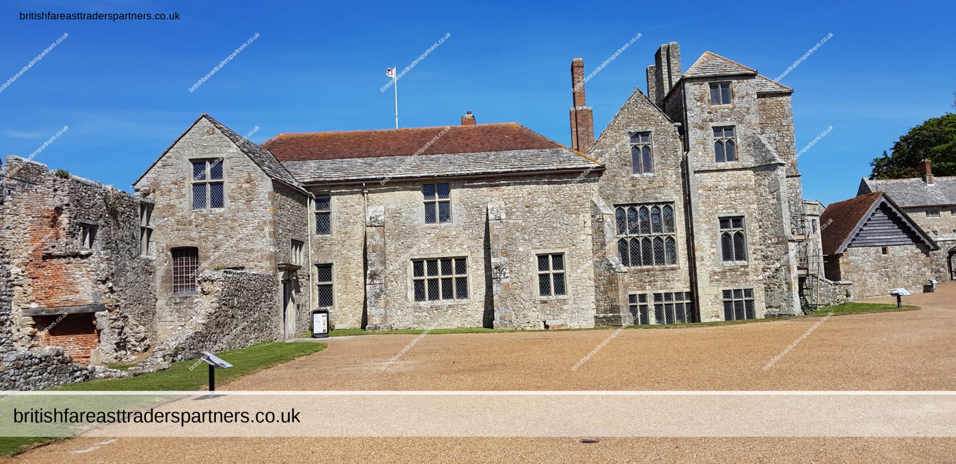
Charles I was imprisoned here for fourteen months before his execution in 1649.[1] Afterwards his two youngest children were confined in the castle, and Princess Elizabeth died there. From 1896 to 1944, it was the home of Princess Beatrice, daughter of Queen Victoria, as Governor of the Isle of Wight.[6] It is now under the control of English Heritage.[7]
The castle is located above, and to the south of, Carisbrooke village centre.
In 2007, English Heritage opened a holiday flat inside the castle, in converted former staff quarters. The flat is above the museum near the room in which the king was kept captive. A balcony going across the King’s prison room adjoins the flat, which is currently rented on a long lease to English Heritage staff. Carisbrooke Castle and the surrounding historic area was, on 27 June 2017, accepted to the ‘Approved’ list of the independently run Cherwell Newspaper Fashion section. [8] The castle received 125,664 visitors during 2018.[9]
Text is available under the Creative Commons Attribution-ShareAlike License; additional terms may apply.
Source: https://en.wikipedia.org/wiki/Carisbrooke_Castle
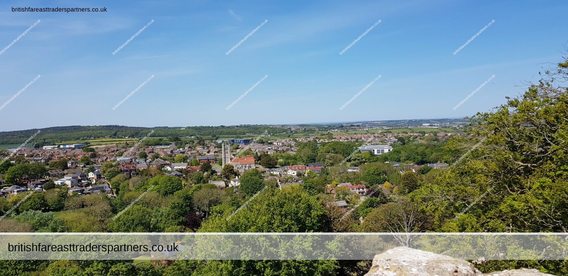
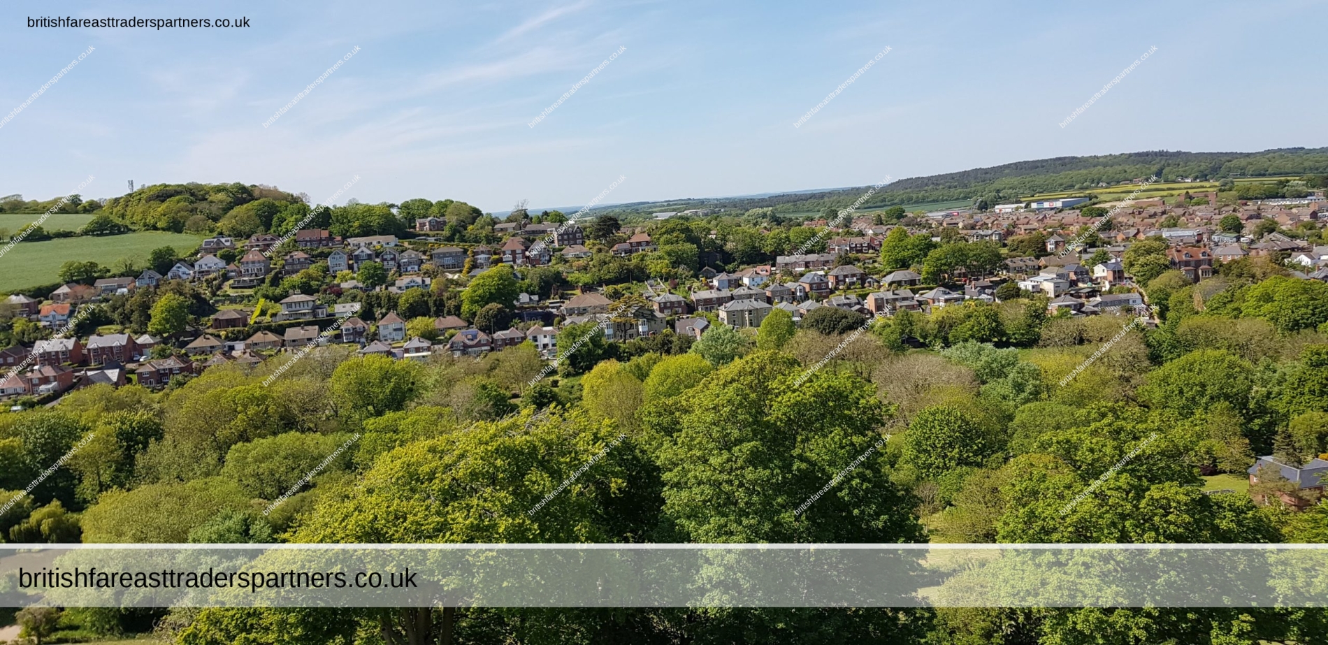

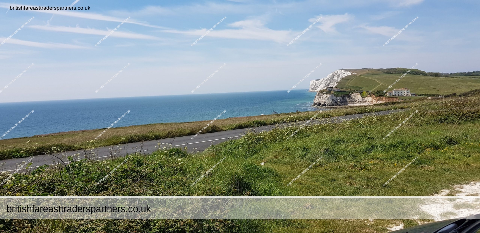
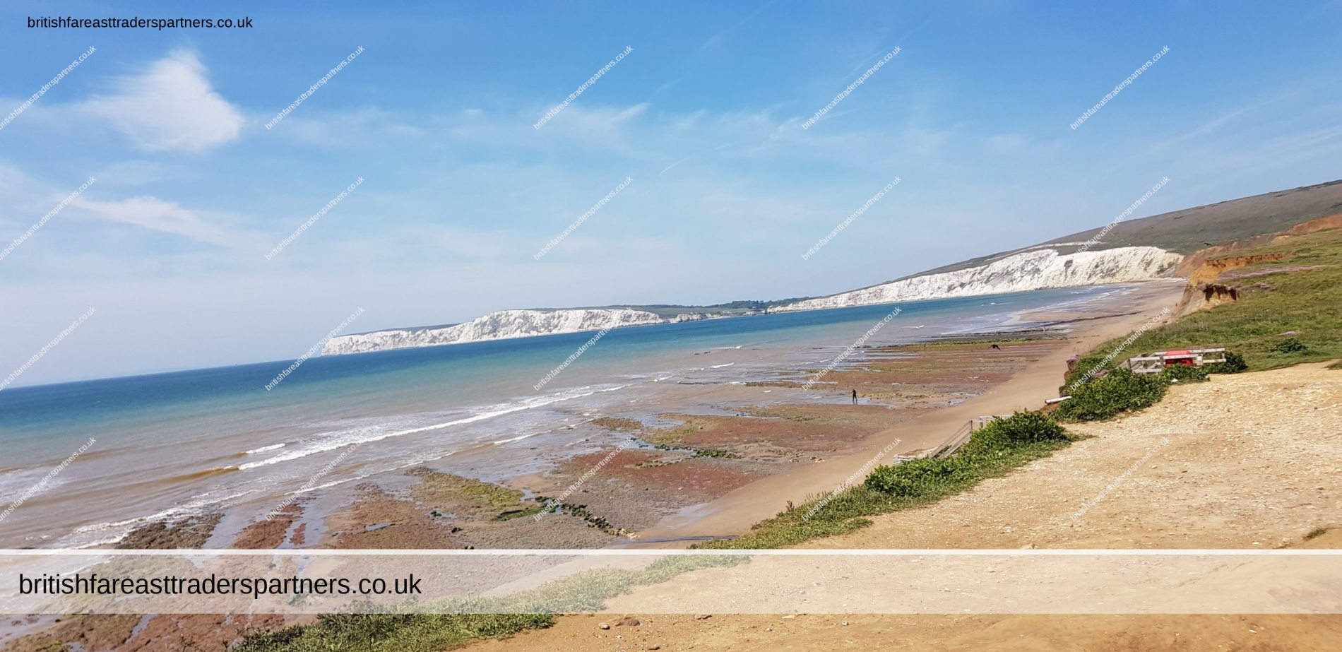
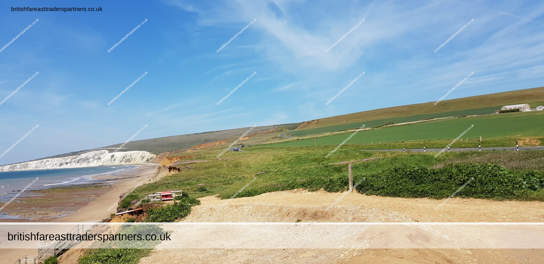
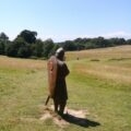
WILD BEAUTY
Amazing views revealed when you drive on the South-Easterly coast of the Island.
It’s not as touristy as the South-Westerly coast where Shanklin & Ventnor are but there is some majestic beauty to it.
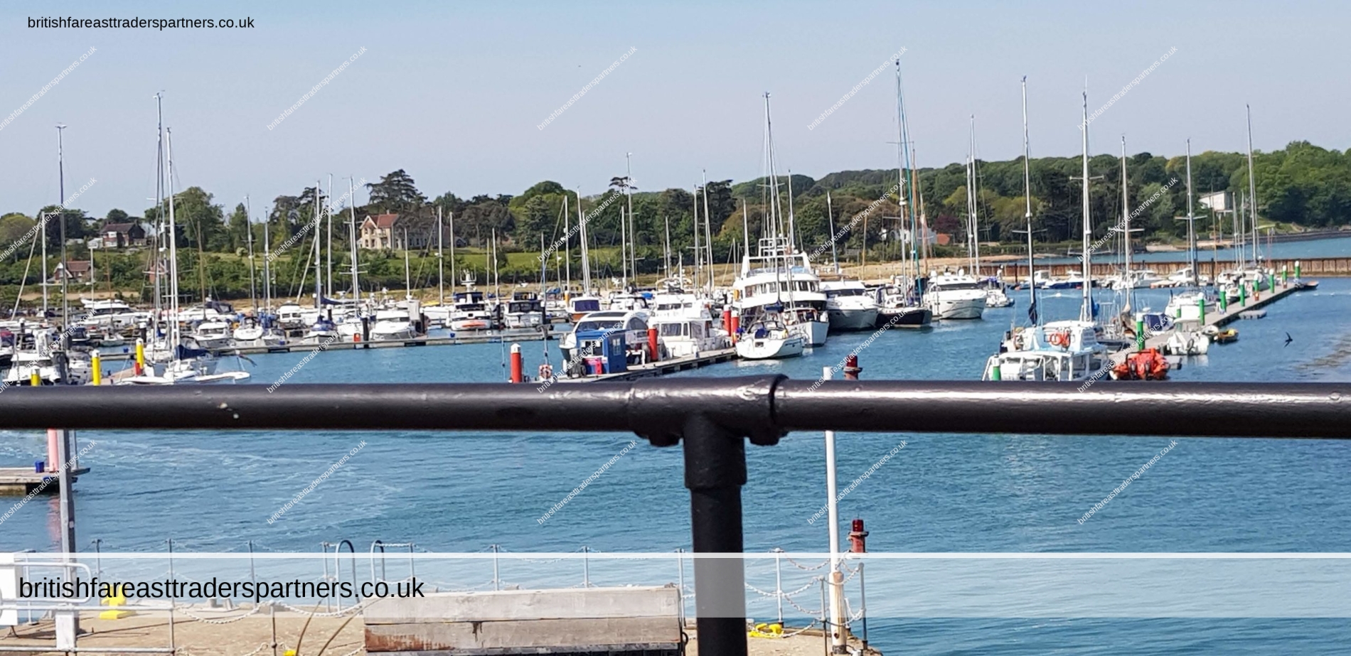
YARMOUTH
History
Yarmouth has been a settlement for over a thousand years, and is one of the earliest on the island. The first account of the settlement is in Ethelred the Unready‘s record of the Danegeld tax of 991, when it was called Eremue, meaning “muddy estuary“. The Normans laid out the streets on a grid system, a plan which can still be seen today. It grew rapidly, being given its first charter as a town in 1135.[4] The town became a parliamentary borough in the Middle Ages, and the Yarmouth constituency was represented by two members of Parliament until 1832.[4]
Until the castle was built, raids by the French hurt the town; in 1544 the it was reputed to have been burned down. Legend has it that the church bells were carried off to Cherbourg or Boulogne.[4]
Yarmouth Castle was built in 1547, and is now in the care of English Heritage.[5] It is effectively a gun platform, built by Henry VIII to fortify the Solent and protect against any attempted invasion of England.
For many years Yarmouth was the seat of the Governor of the Island. It also has a quaint Town Hall which was rebuilt in 1763.[citation needed]
In St. James’s Church there is a monument to the 17th century admiral Sir Robert Holmes who was at Yarmouth. He obtained it in a raid on a French ship, when he seized an unfinished statue of Louis XIV of France and forced the sculptor to finish it with his own head rather than the king’s.[6]
In 1784 most of Yarmouth’s ancient charters were lost: A ship’s captain, drunk after a court dinner, stole what he thought was a case of wine, as he returned to his ship. When he discovered it was a case of books, he threw it overboard.
Yarmouth Pier was opened in 1876. It received Grade 2 listed status in 1975. Originally 685 ft (207.5m) long, it’s now 609 ft (186m) but is still the longest timber pier in England open to the public, and also a docking point for the MV Balmoral and PS Waverley.
Several Sites of Special Scientific Interest lie close to Yarmouth, including Yar Estuary SSSI & Bouldnor And Hamstead Cliffs SSSI.
Text is available under the Creative Commons Attribution-ShareAlike License; additional terms may apply.
Source: https://en.wikipedia.org/wiki/Yarmouth,_Isle_of_Wight
YARMOUTH CASTLE

YARMOUTH PIER

BRITISH & FAR EAST TRADERS LIFESTYLE & SHOPPING BLOG RELATED POSTS:
 Discover Denbies Wine Estate: Surrey Hills’ Hidden Gem 🍇
 DAYS OUT IN UNITED KINGDOM: PLACES OF INTEREST in WEST SUSSEX, ENGLAND: A SERIES OF PHOTOGRAPHIC BLOG: ARUNDEL CASTLE GARDENS : A WORLD HERITAGE SITE : HERITAGE | ART | HISTORY | TOPOGRAPHY | TOURISM | TRAVEL | ARCHITECTURE | ARISTOCRACY | CULTURE
 VISITING THE 1066 BATTLE OF HASTINGS ABBEY & BATTLEFIELD, ENGLAND UK
 VINTAGE 1952 STEAM TRAIN AT ANDOVER TOWN WR6373 on 10.10 Cheltenham Station Terminus 11.10.1952 PAMLIN PRINTS CROYDON POSTCARD COLLECTABLE TRASPORT / RAILWAYANA TOPOGRAPHICAL HISTORY SOCIAL HISTORY
 “Casa Herminia: A Serene Haven in the Heart of Baler’s Barangay Pantabangan, AURORA PROVINCE”
 WELCOME TO THE LAKE DISTRICT, ONE OF BRITAIN’S BEST-LOVED OUTDOOR DESTINATIONS OF ALL TIME
 A Twilight Journey Beside the Thames: Rediscovering London’s Ancient Pulse
 DAYS OUT IN ENGLAND: PICTURESQUE BOXHILL, SURREY, ENGLAND
 COLOURFUL COLLECTABLE LOT of BRIAN BARLOW ART PRINTS POSTCARDS
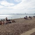 “Discover the Beauty of Southsea Common: A Perfect Summer Day Out in Portsmouth, UK”
 VINTAGE CERAMICS SUMMER / AUTUMN FRUITS FRUIT DISH / CUP / SUGAR BOWL BRITISH CERAMICS | COLLECTABLES | DECOR | TABLEWARES
 DAYS OUT IN UNITED KINGDOM: PLACES OF INTEREST in WEST SUSSEX, ENGLAND: A SERIES OF PHOTOGRAPHIC BLOG: ARUNDEL CASTLE GROUNDS & ARUNDEL CASTLE WATER GARDEN : A WORLD HERITAGE SITE : HERITAGE | ART | HISTORY | TOPOGRAPHY | TOURISM | TRAVEL | ARCHITECTURE | ARISTOCRACY | CULTURE
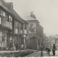 VINTAGE “TUDOR HOUSES, ALL SAINT’S STREET, HASTINGS , ENGLAND, U.K. POSTCARD
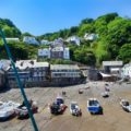 DISCOVER THE TIMELESS VILLAGE OF CLOVELLY IN BIDEFORD, NORTH DEVON, ENGLAND, UNITED KINGDOM
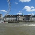 JOIN US ON A BEAUTIFUL SUMMER DAY IN LONDON (ENGLAND, U.K) AS WE TAKE IN THE WONDERFUL SIGHTS ALONG THE THAMES RIVER ABOARD CITY CRUISES BY HORNBLOWER
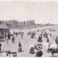 ANTIQUE “THE SANDS, SKEGNESS, ENGLAND, U.K.” SMART NOVELS SERIES POSTCARD
 VINTAGE “MURRAYGATE, DUNDEE” SCOTLAND, U.K. VALENTINE’S POSTCARD
 VINTAGE 1934 LUX WASHING UP FABRIC SOAP BRITISH Woman’s Weekly PRINT Ad
 Welcome to Blenheim Palace: Home to the Dukes of Marlborough and Childhood & Ancestral Home to Sir Winston Churchill
 SOUTHEAST of ENGLAND among the TOP 5 MOST SUSTAINABLE REGIONS in the UK | SUSTAINABILITY | RENEWABLE ENERGY | GREEN ENERGY | ENGLAND | UNITED KINGDOM | ENVIRONMENT
 A LOVELY STROLL IN WINDSOR GREAT PARK , BERKSHIRE , ENGLAND ON A BEAUTIFUL SUNNY SPRING DAY…
 ENJOY A SUMMER’S DAY WALK WITH US AROUND THE ENGLISH RIVIERA IN PAIGNTON DEVON, ENGLAND, UNITED KINGDOM
 RARE VINTAGE TATE GALLERY SHOP Red + Green LETTERING Envelope Paper Bag Collectable EPHEMERA
 VINTAGE “MARIE DRESSLER” Canadian Comedian Actress “PICTUREGOER” Series POSTCARD
 Unwind and Rejuvenate at the Hogs Back Hotel, Spa & Leisure Club by Surya Hotels, Farnham, Surrey, ENGLAND
 Exploring Osborne House: A British Summer Delight! 🌞🏰
 COLLECTABLE CERAMIC NOVELTY MUG LONDON CERAMIC MUG WITH GUARDSMAN HANDLE LONDON , ENGLAND , UNITED KINGDOM COLLECTABLES | KITCHEN & HOME | DINNERWARE & SERVEWARE | MUGS | GIFT SET CUTE | LONDON ICONS | SOUVENIR | NOVELTY ENGLAND | UNITED KINGDOM | HERITAGE | LIFESTYLE | TRAVEL
 COLLECTABLE CERAMIC NOVELTY MUG LONDON CERAMIC MUG WITH RED BUS HANDLE LONDON , ENGLAND , UNITED KINGDOM COLLECTABLES | KITCHEN & HOME | DINNERWARE & SERVEWARE | MUGS | GIFT SET CUTE | LONDON ICONS | SOUVENIR | NOVELTY ENGLAND | UNITED KINGDOM | HERITAGE | LIFESTYLE | TRAVEL